![]()
![]()
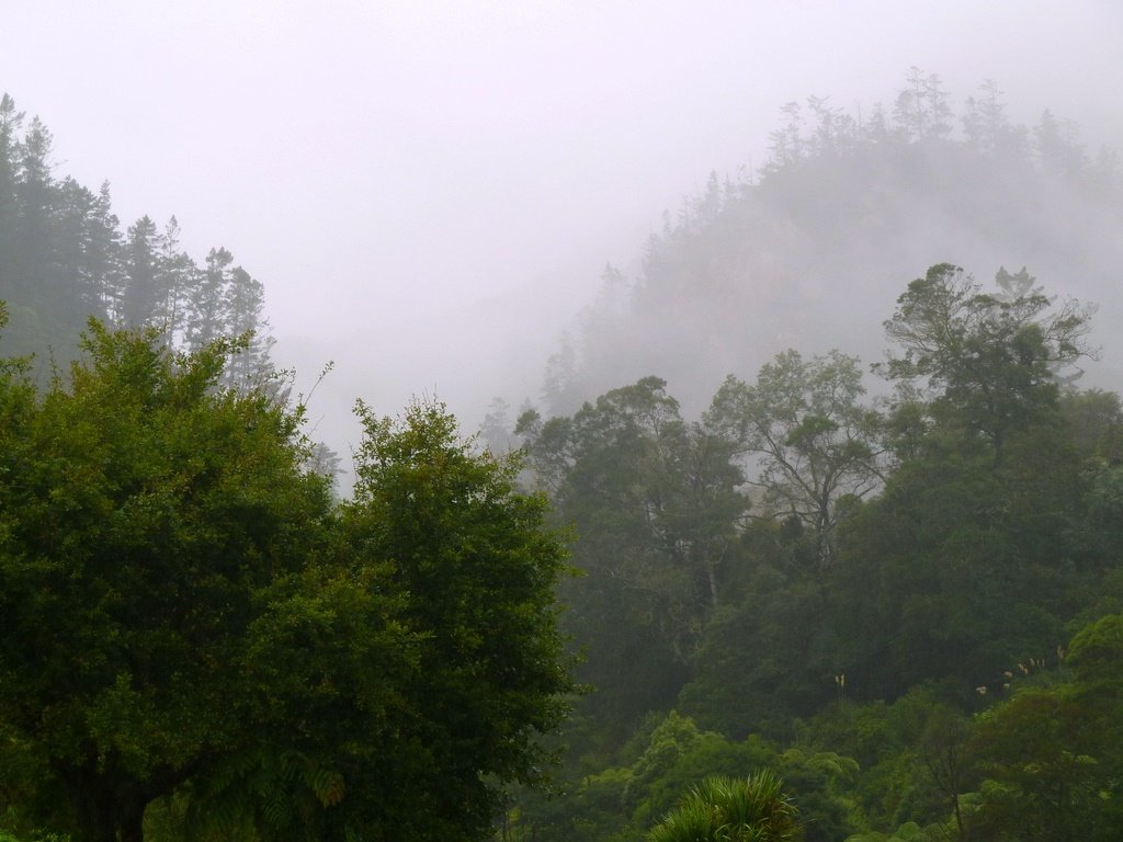
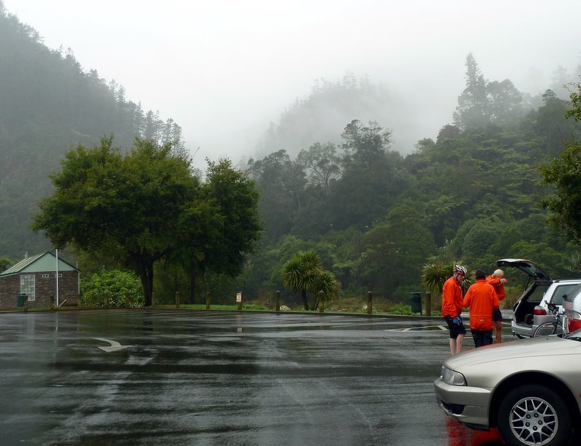
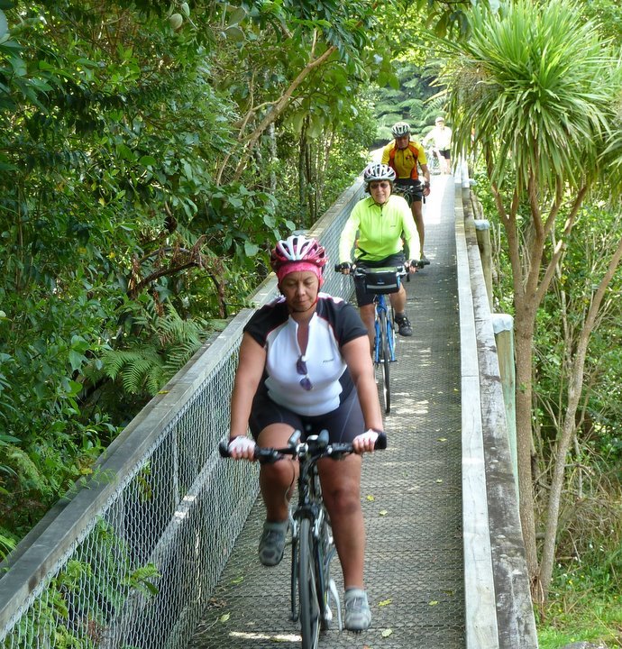
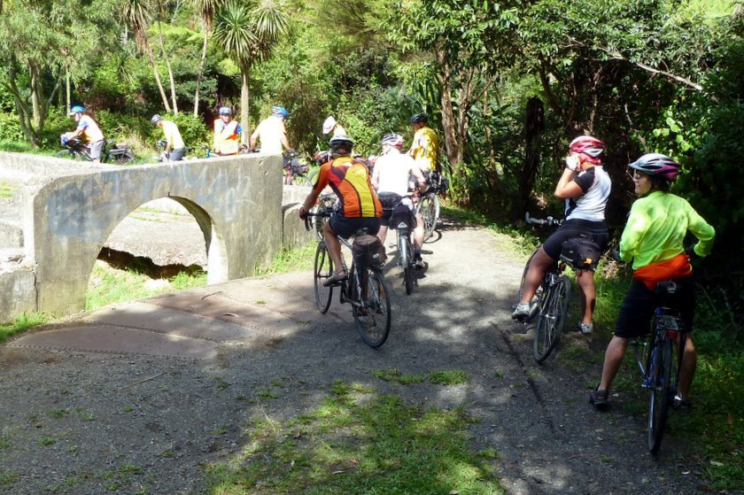
The Karangahake ride is always a popular one, but today's
Here are a couple of shots of what it was like just before we headed off to the tunnel.
Ron's map of the ride.
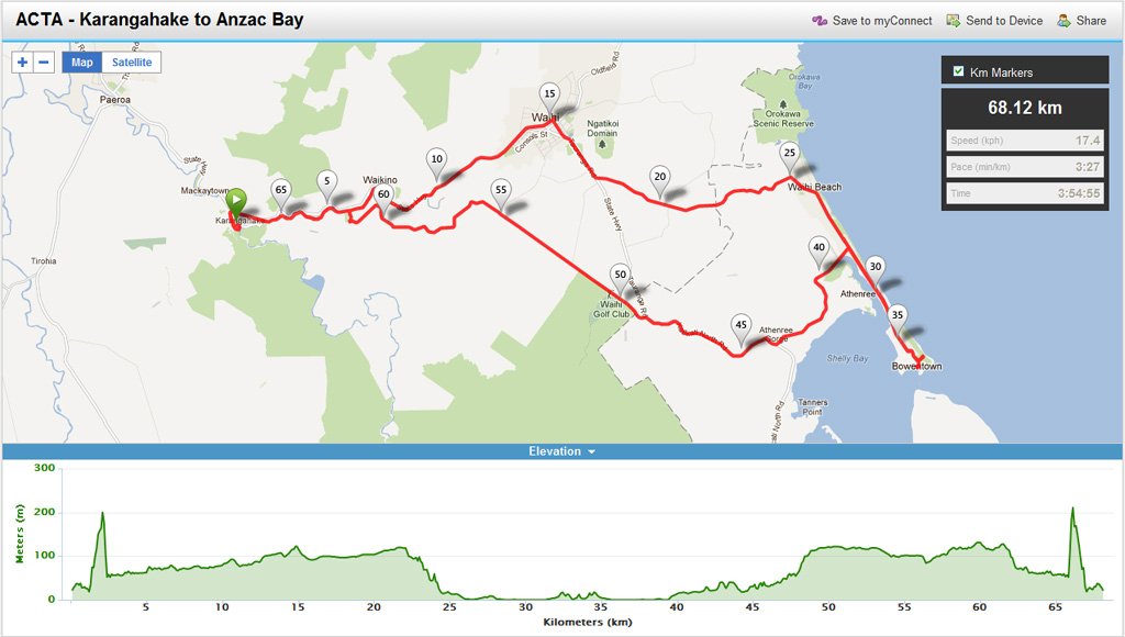
Don't worry about the blip near the start and finish - Ron's GPS very
carefully shows the elevation if you tramp
over the hill rather than going through the tunnel.
Click here to play with the live map.
(Map : Ron)
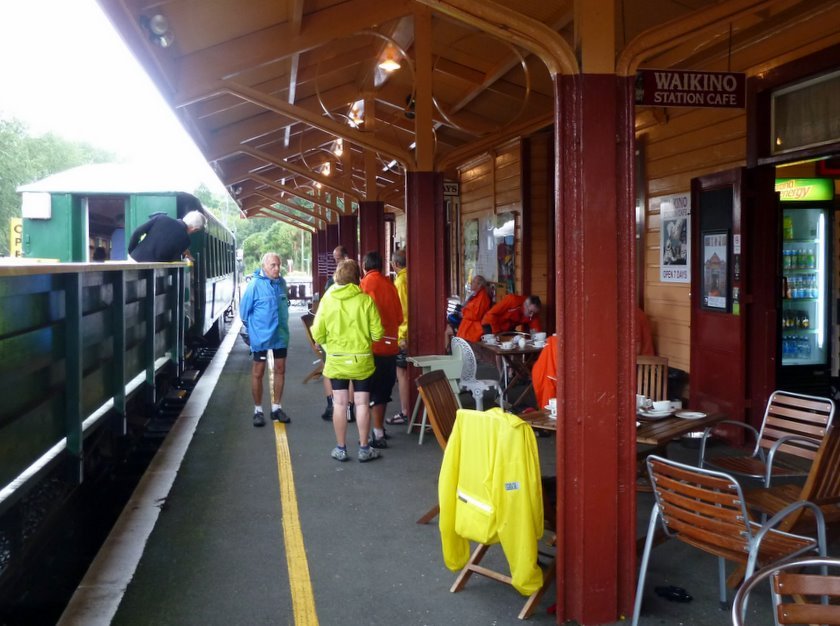
The Goldfields Express arrives from Waihi.
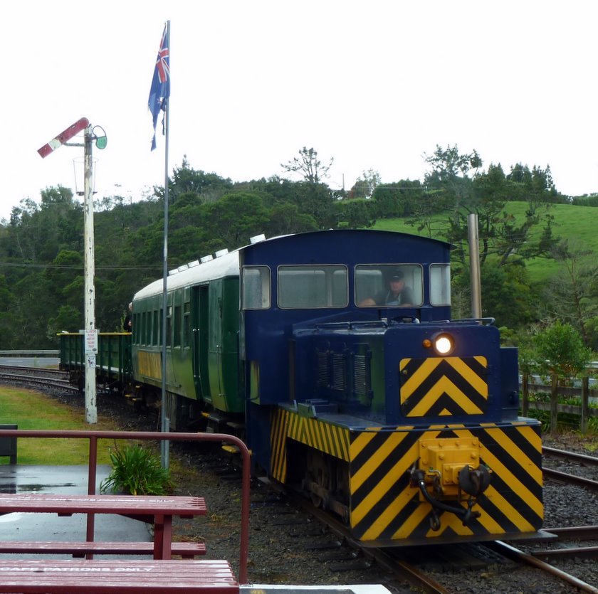
We had wanted to
be sure to arrive at Waikino before the train, to avoid queues
at the café. We did, but we need not have worried today.
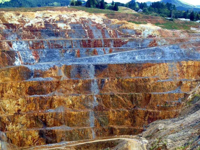
The Martha Mine Pit..
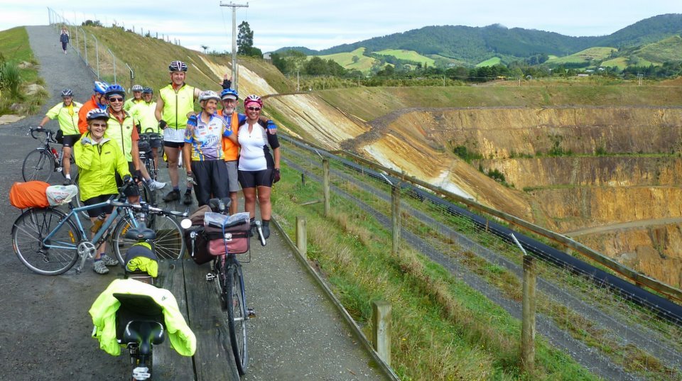
JB could not help himself in the group photo. And Kevan got elevated..
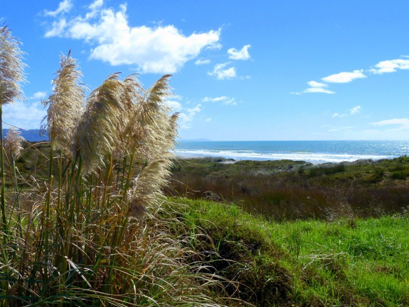
We went to Anzac Bay, but the wind was coming straight in there so we
popped over
to the Ocean beach at Bowentown for lunch.
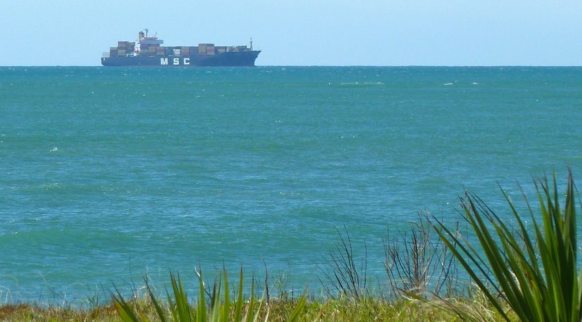
There were many container ships waiting to head in to Mt Maunganui,
courtesy
of the POAL industrial problem.
Someone suggested there was not a problem - just a great opportunity
to turn the Auckland container terminal in to a park.
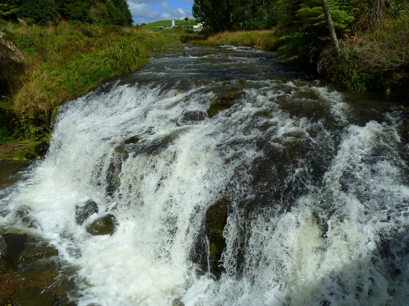
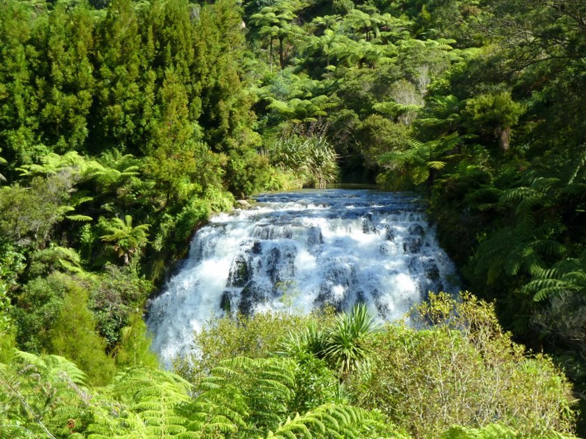
Top of the Owharoa Falls.
Viewing the Falls.
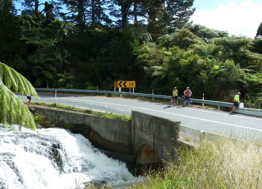
Waiting for the viewers to finish viewing the Falls.
Further down the road, further viewing was in progress.
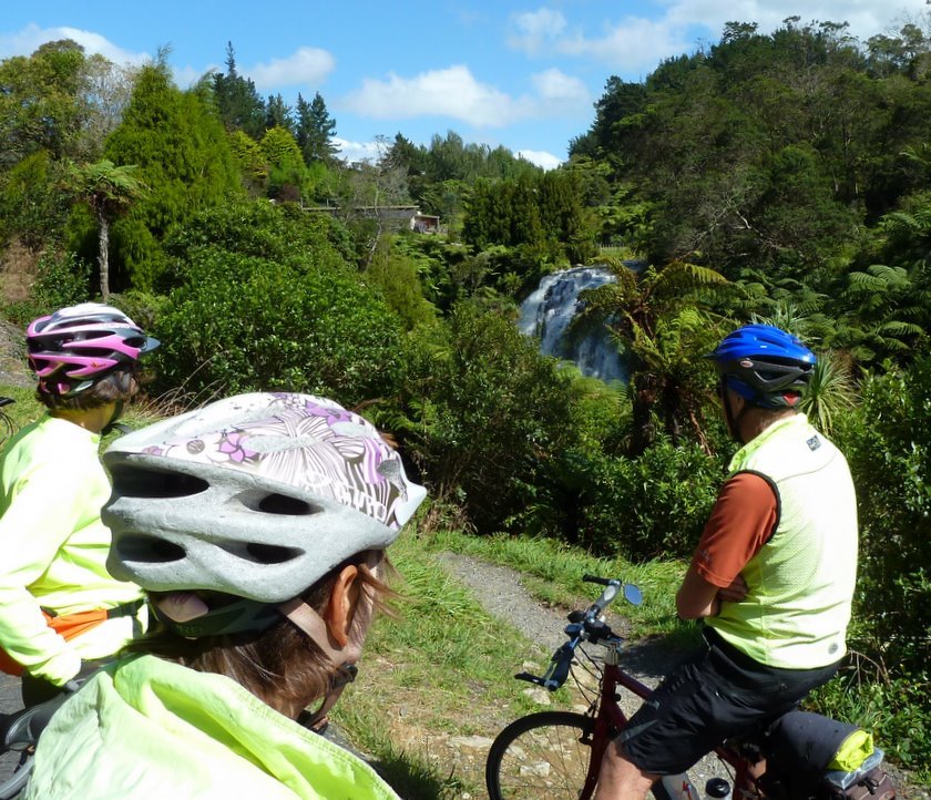
A lower section of the Owharoa Falls.
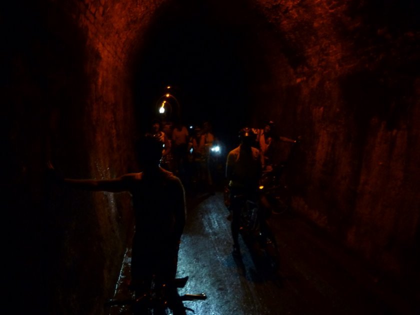
In the 1km long Karangahake Tunnel.
With the rail trail joining Thames to Karangahake due to be opened
on 5 May, the surface of the Karangahake to Waikino trail has been
greatly improved and so has the lighting in the tunnel.
We had the fastest ride to Waikino we've ever had.
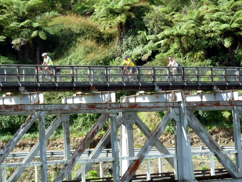
The bridge crossing SH2 at the western end of the tunnel.
Coming back to Earth.
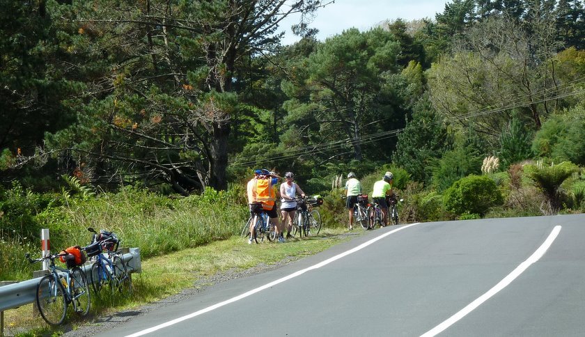
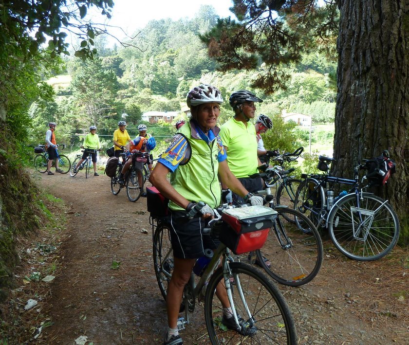
Studying some old gold mining architecture.
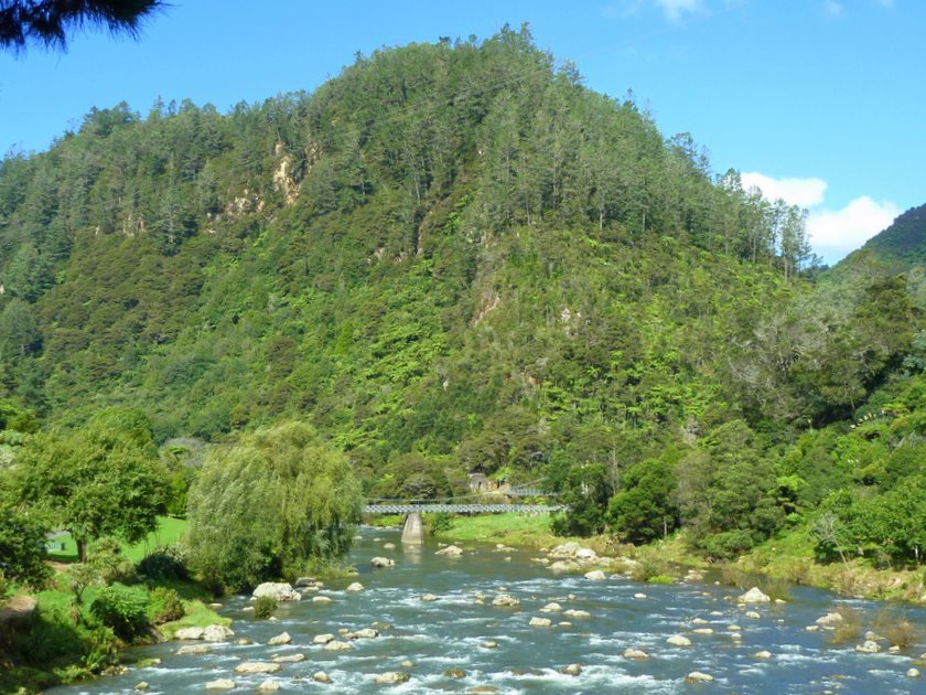
Last scenic stop of the ride.......
... to look at the Ohinemuri River as it passes Karangahake.
A somewhat more pleasant outlook than 6 hours earlier.
Photos : John
Want to tell the Webmaster something?
