
BayLakes Tour 9 to 17 November, 2013 Page One - Papamoa to Taupo
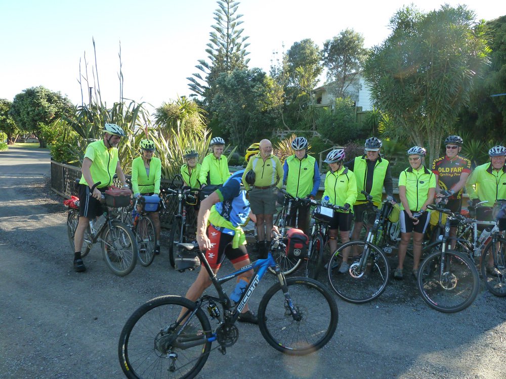
The usual line-up before departing on day one. Unfortunately, as
he was walking to the end of the line, Garth blocked Glen -
so we moved Glen forward.
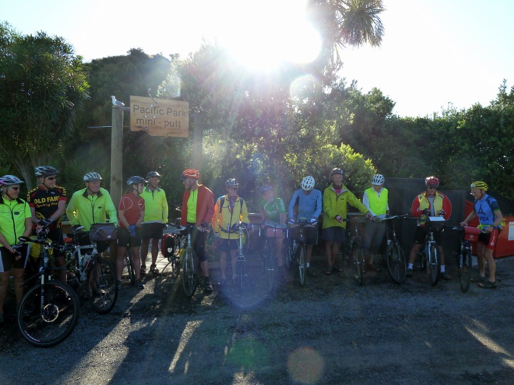
It was a long line. Here's the rest of it with Garth safely parked on the end.
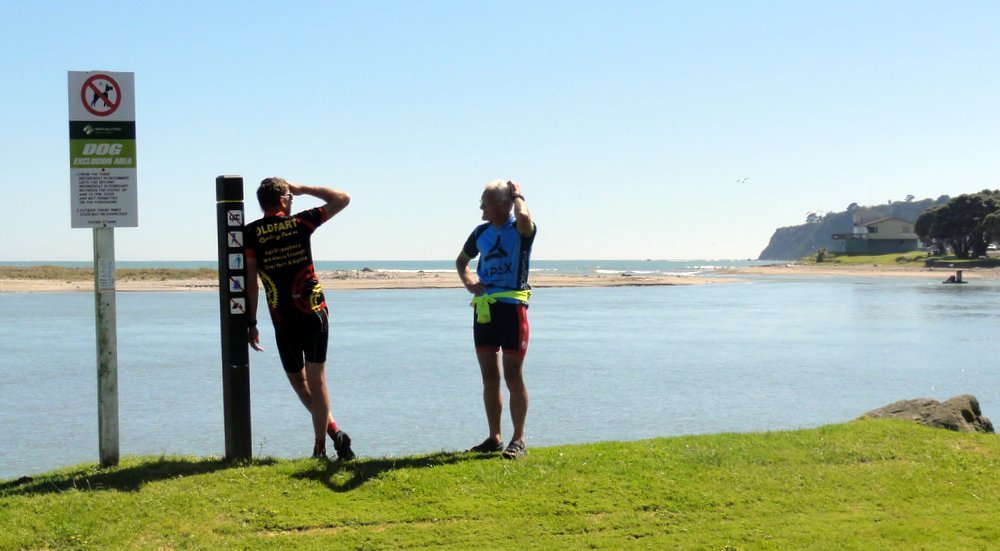
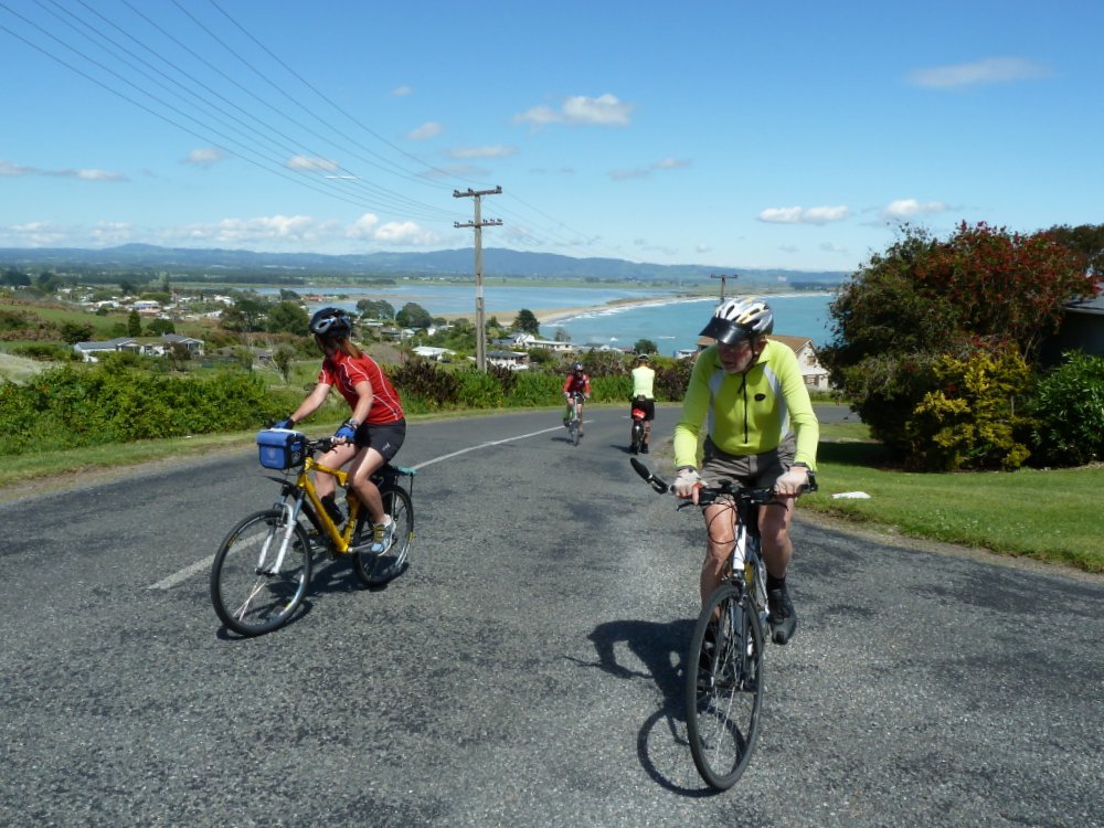
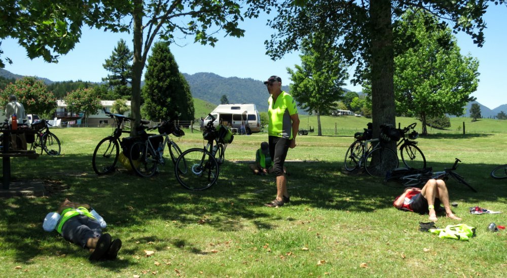
Mike and Garth wondering what to do next, at the Maketu Estuary.
Ron and Colin climbing a steep hill at Maketu.
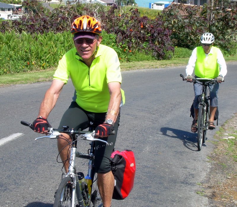
Photo : Arnold
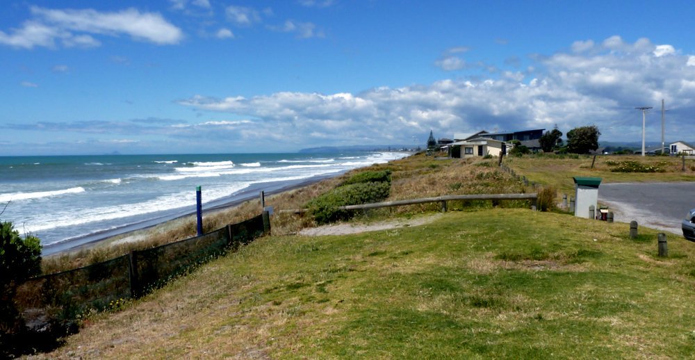
The view from the top was worth the climb.
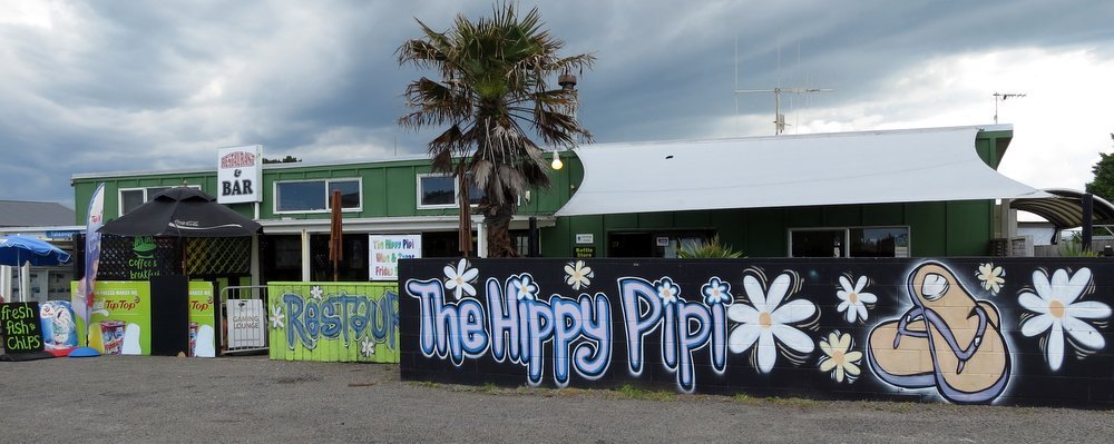
Pukehina Beach
At one of the houses we had at Pukehina.
Pukehina Pub.
Ron was happy at the Pukehina School - it was his first school in NZ, as a 5 year old after immigrating here.
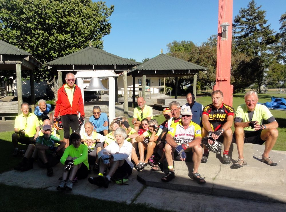
Photo : Ron O
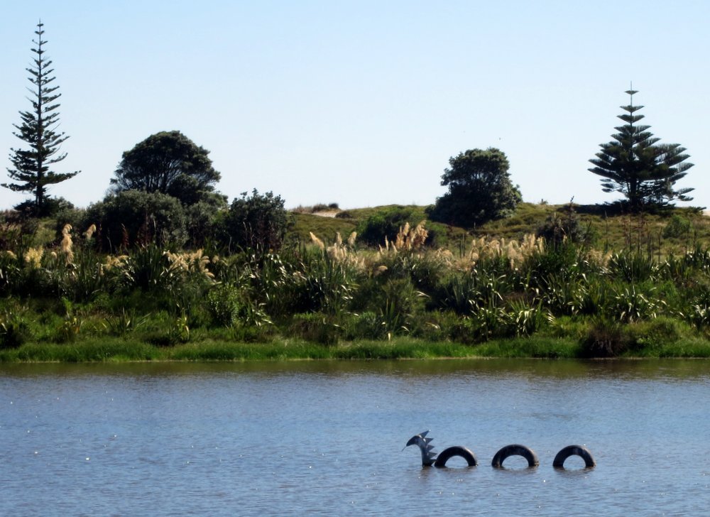
At Matata Garth spoke about the one that got away.
Loch Matata Monster.
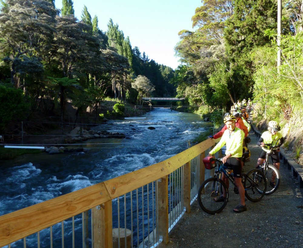
The Tarawera River at Kawerau.
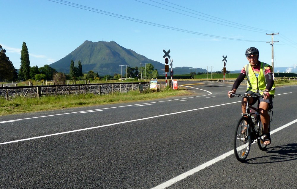
Mt Edgecumbe
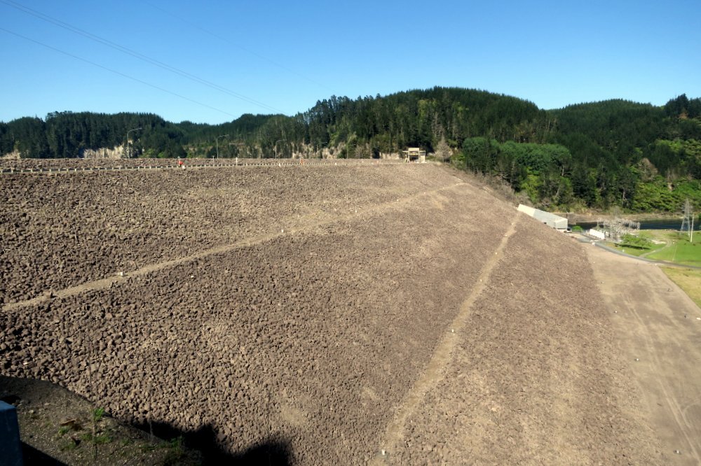
Matahina Dam.
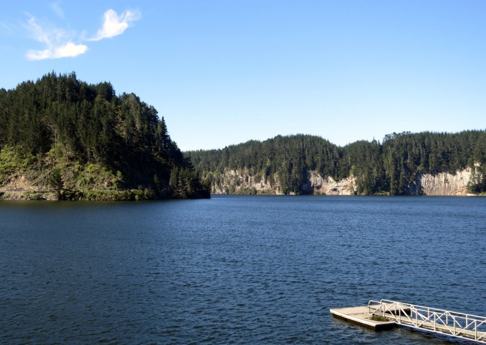
Matahina Lake
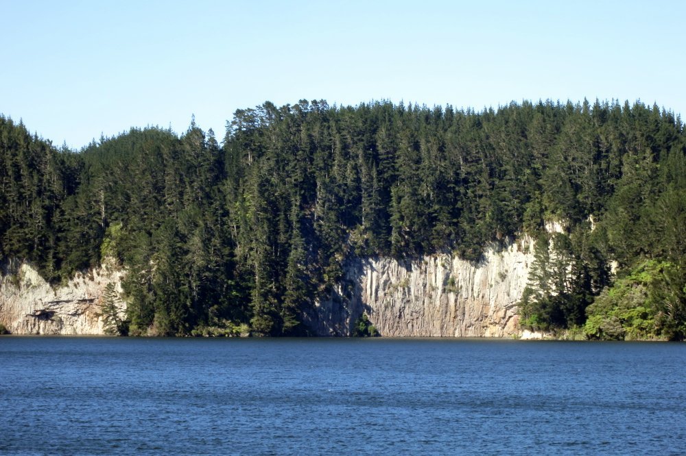
Matahina Lake
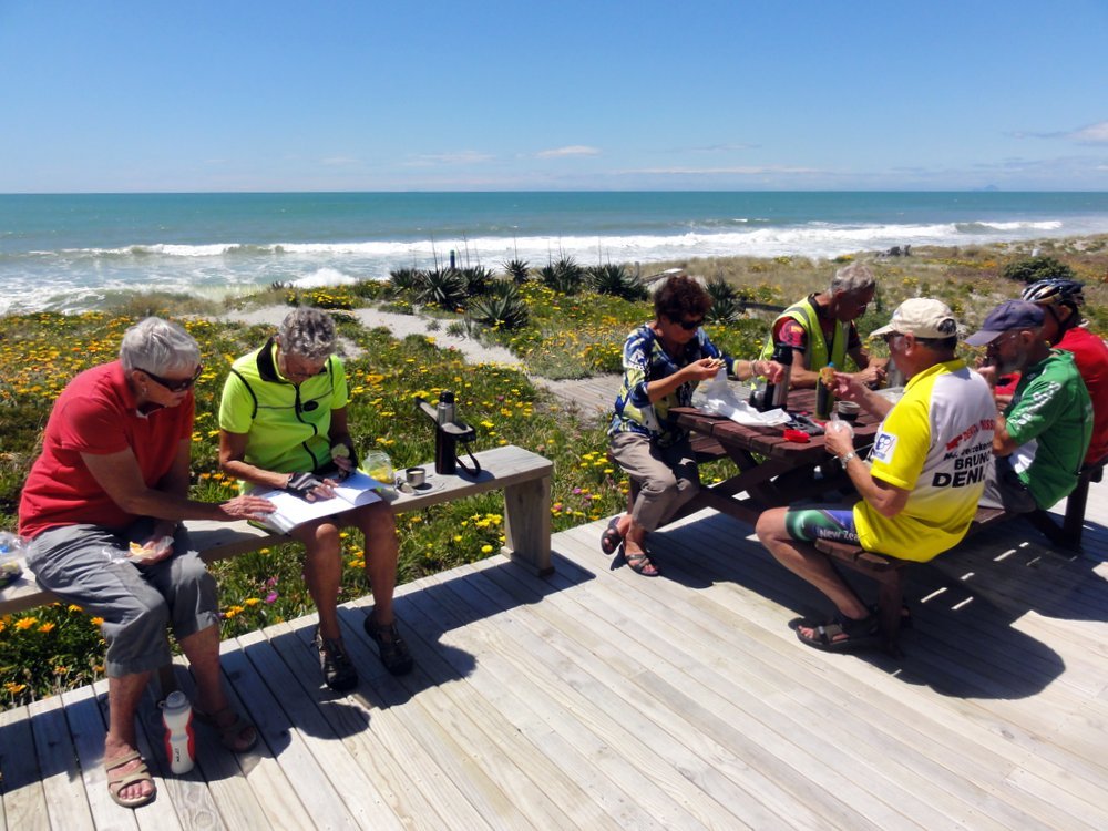
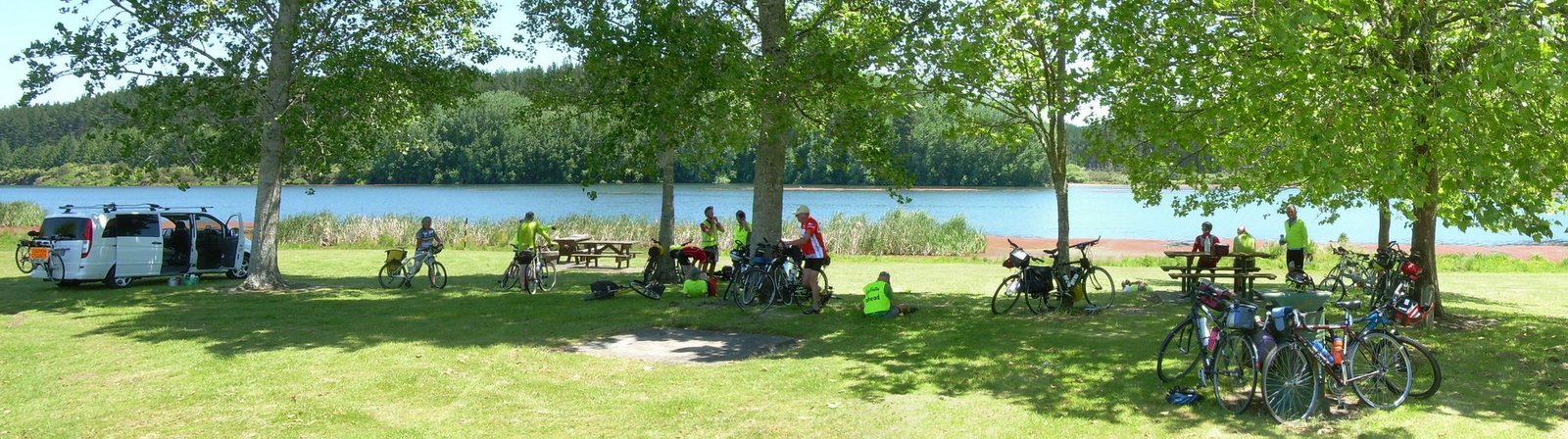
Lunch stop at Lake Aniwhenua.
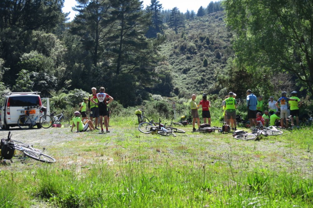
Lunch stop at Lake Aniwhenua.
Lunch stop at Lake Aniwhenua.
Lunch stop at Lake Aniwhenua.
Lunch stop panorama.
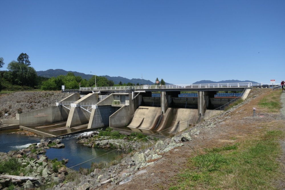
Lake Aniwhenua spillway.
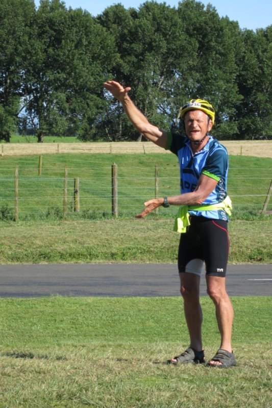
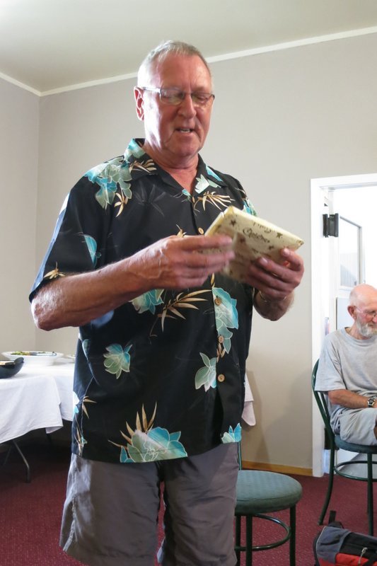
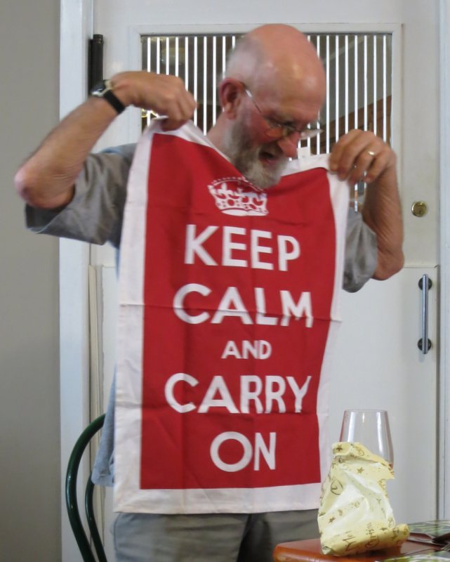
At Murupara JB shouted, to celebrate 50 years in NZ.

Sloop made a little speech to mark the occasion.
Now JB's got no excuse to not dry the dishes.
Is this a version of look at the ceiling and think of England?.
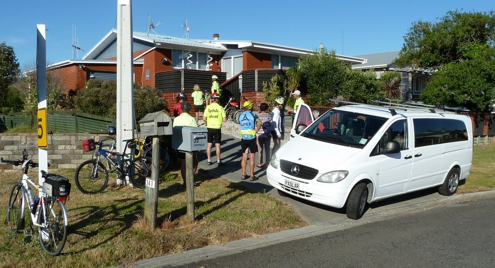
The motel at Murupara.
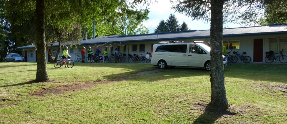
Photo : Ron J
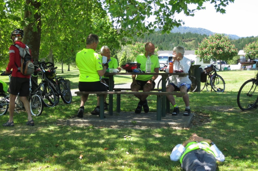
On the road again - morning tea stop near Rainbow Mountain.
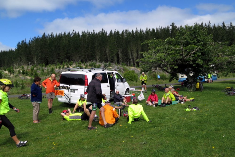
Photo : Maurice
You never know what you'll find in a woman's handbag.
Looks like handlebar bags are the same.
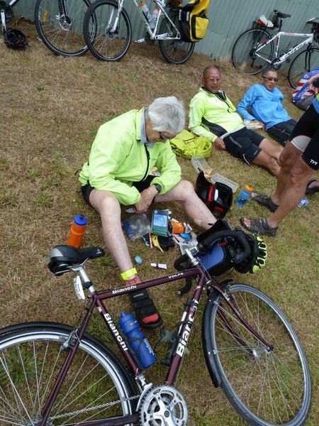
Photo : Ron J
Lunchtime at Broadlands.
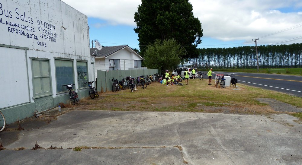
Photo : Ron J
At Broadlands - for lunch - the ultimate store was found.
It had REAL COFFEE and ENERGY SHAKES.
What more could a cyclist ask for?
You're right - a plane for an easy trip back home.
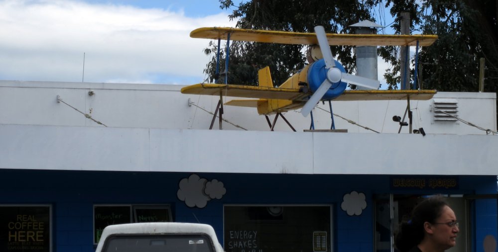
Photo : Maurice
Ron J's new pride and joy.
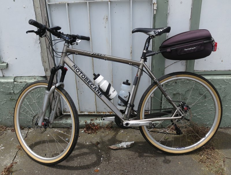
Photo : Maurice
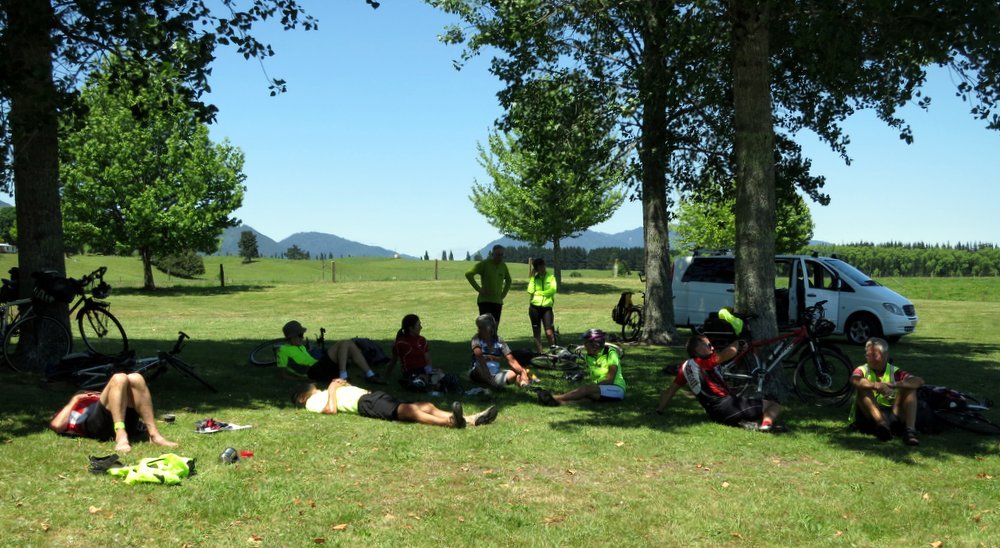
Cruising along north of Taupo.
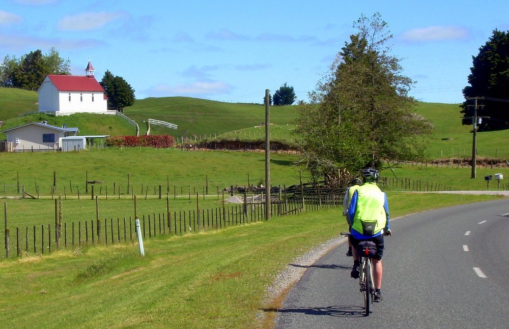
Photo : Arnold
Page 2 : Taupo back to Papamoa
Ron's GPS Data for Papamoa - Pukehina
Ron's GPS Data for Pukehina - Kawerau
Ron's GPS Data for Kawerau - Murupara
Ron's GPS Data for Murupara - Taupo
Want to tell the Webmaster something?
