![]()
![]()
Wairarapa
2013
Beyond the Cape 8 - 11 April, 2013
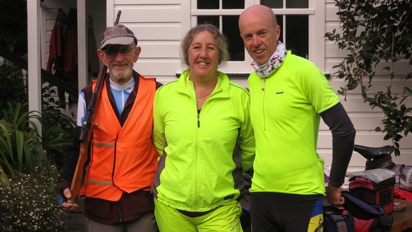
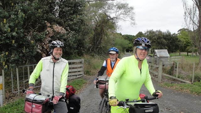
Annie, JB, Steve and Tony did a little private tour in the South Wairarapa as
a forerunner to their (except JB) Northern Hemisphere trip later this year.
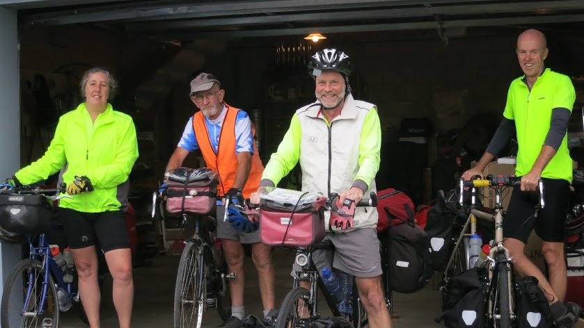
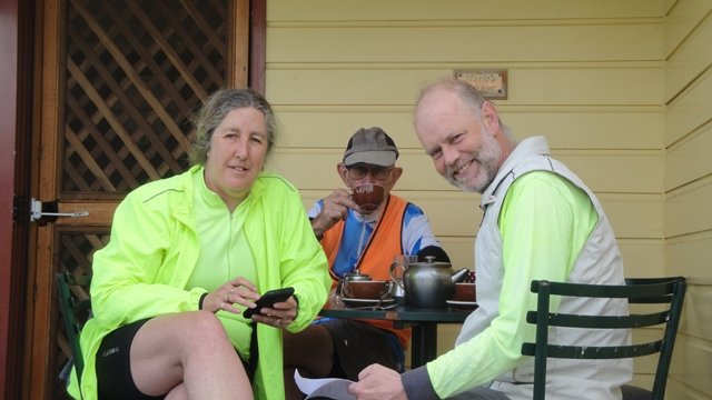
They started in Masterton and lasted until they got to Featherston before their first coffee.
(Given the area they were heading in to, it was also likely to be their last one on the trip.)
JB wondered if protection (from wild pigs, perhaps) may be needed.
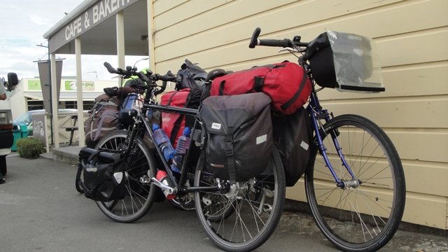
The work horses, Bonnie & Clyde.
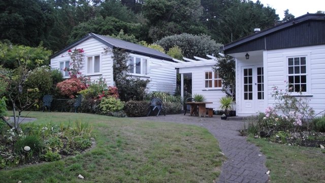
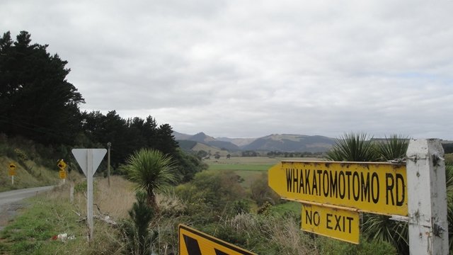
First overnight stop was at Blackett's Farm, way up the no-exit Whakatomotomo Road.
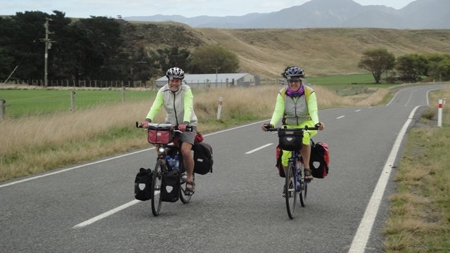
Heading back to the main road.
Actually, it was not "way up" the road - there was only 6.5km of gravel.
It only seemed a long way because it was a detour from "The Plan" and
the day's ride was 105km!!
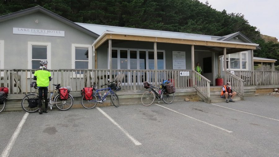
Heading down the road to the Lake Ferry Hotel for an early morning coffee.
Unfortunately, they had forgotten that the coffee they had yesterday was likely to be the last!!
They arrived here at 9:30 and found that the pub did not open until 11 - or so.
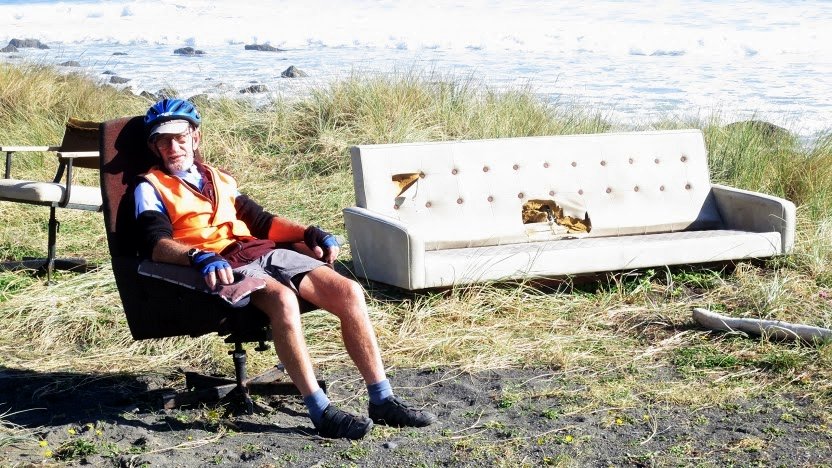
JB's total dejection shows the incredible disappointment they were all suffering.
However, he soon felt better when he found this upmarket beach furniture.
And he felt better still once he was back on the road.
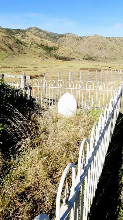
Year's ago when ACTA passed this way, Keith gave us a quiz about this graveyard.
Unfortunately, everyone had made a GRAVE mistake - and hadn't seen it. JB managed to miss it a second time but, this time - SUCCESS!
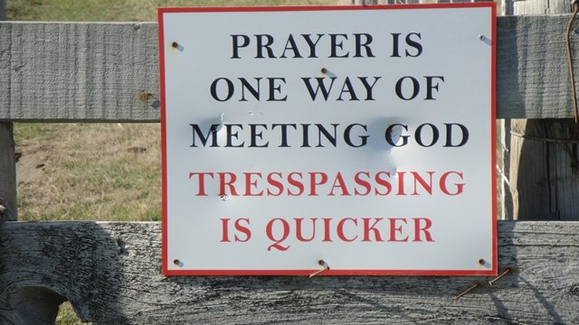
Sound advice perhaps.
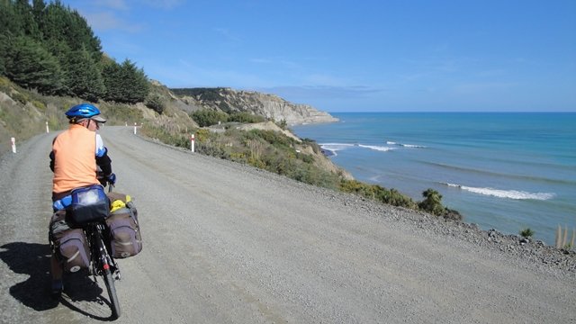
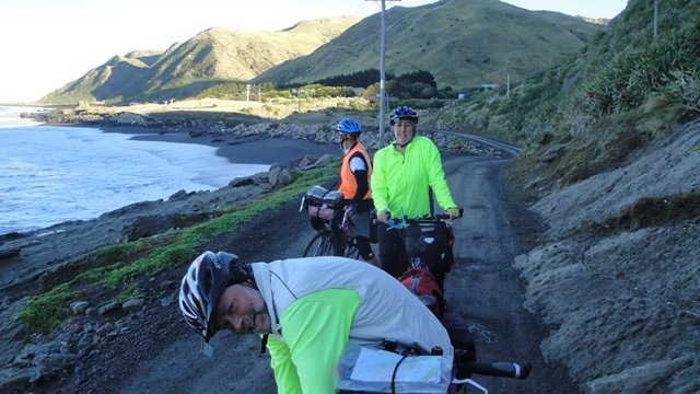
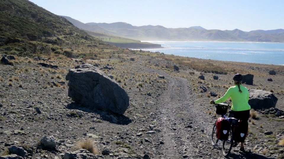
Break time on the road to Ngawi.
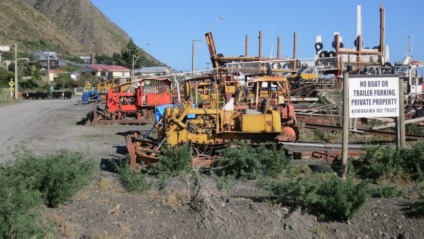
Ngawi has a delightful collection of bulldozers on the beach. These are used by local
fishermen for launching and retrieving their boats.
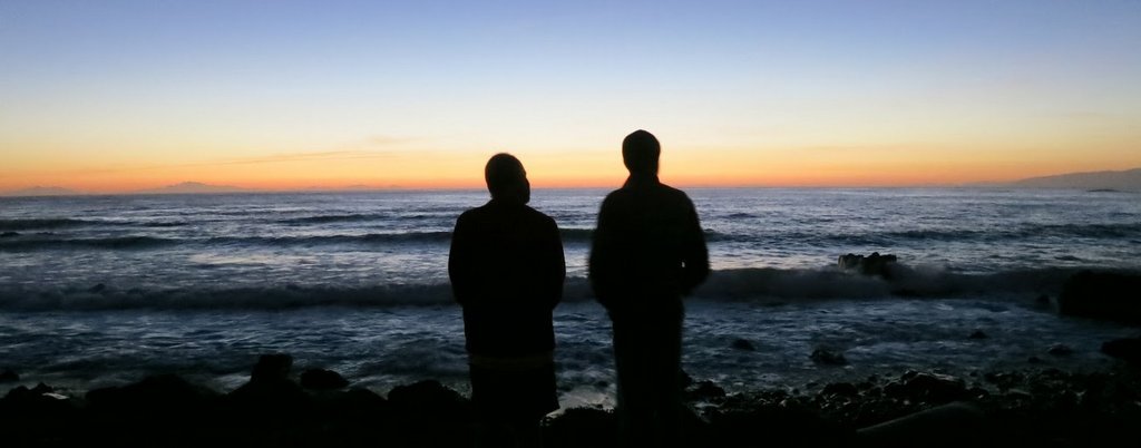
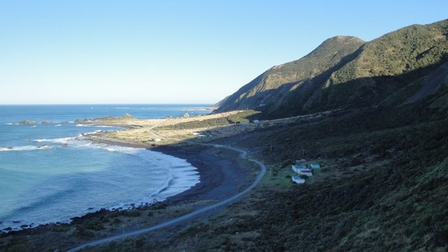
Ngawi Sunset. What a perfect way to end the day.
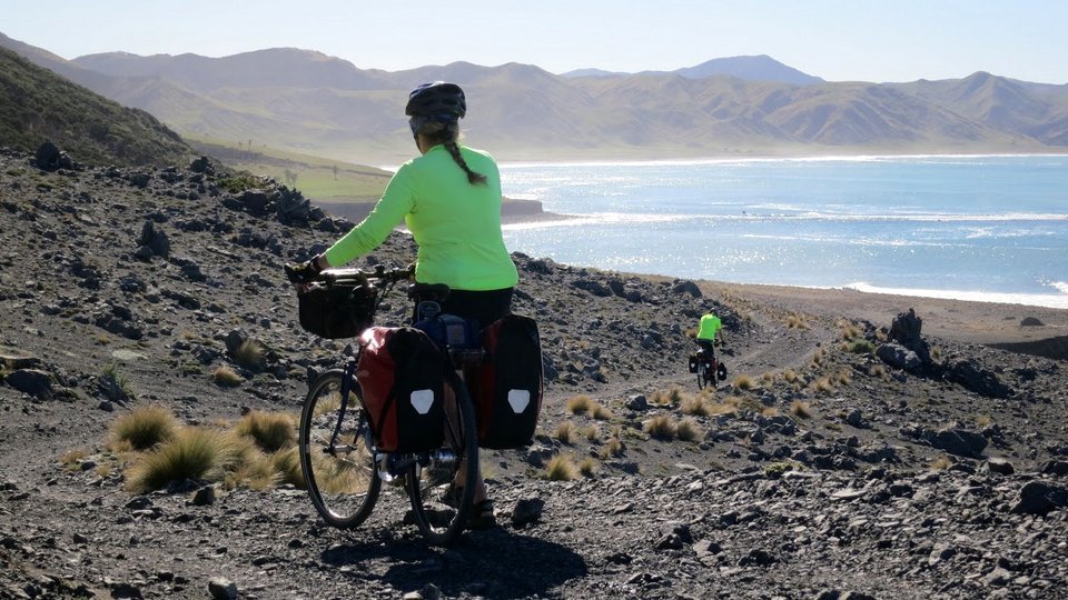
South Island on the left and North Island on the right.
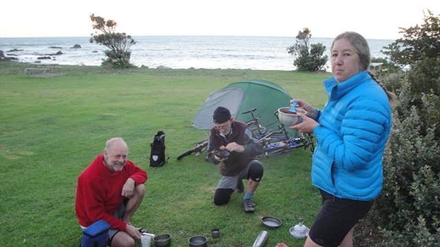
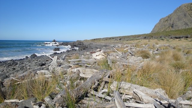
Early morning breakfast at Ngawi. Freecamping is allowed on the foreshore.
But, be warned, the local water is not potable.
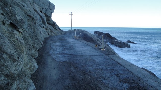
If there is a good swell running you are likely to get wet here on the
way to Cape Palliser.
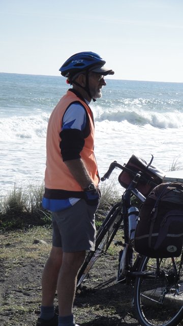
Wonder what he's doing??
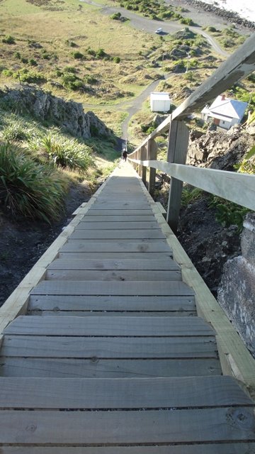
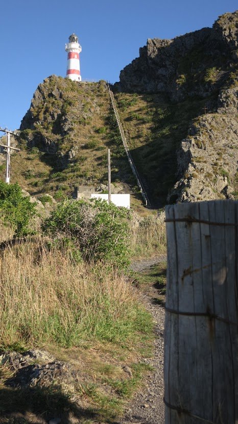
Looking down the 252 steps from the Palliser Lighthouse. (Wouldn't it be a b......r if you counted 252 on the way up and 253 on the way down!)
(Psssst. You might be able to see a couple of pikers in the car park.)
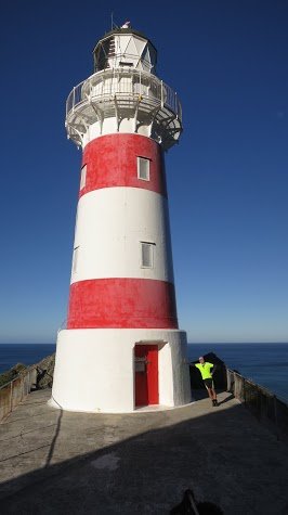
Tony needed support when he got up there
.
There they are - all 252 of them. Or was it 253?
The view from the top
.
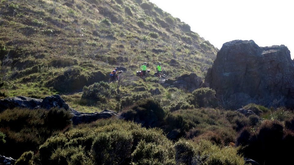
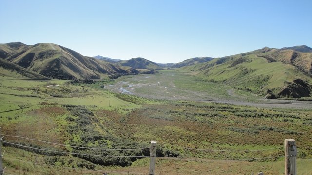
After leaving the light, they headed across Maori / DOC land heading up the
coast to the Opouawe River.
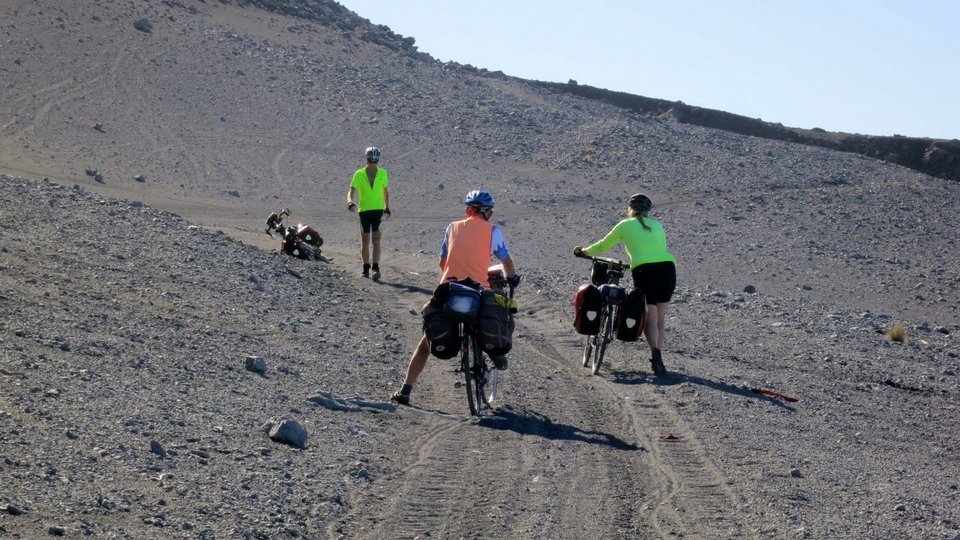
No one said it was going to be easy!!
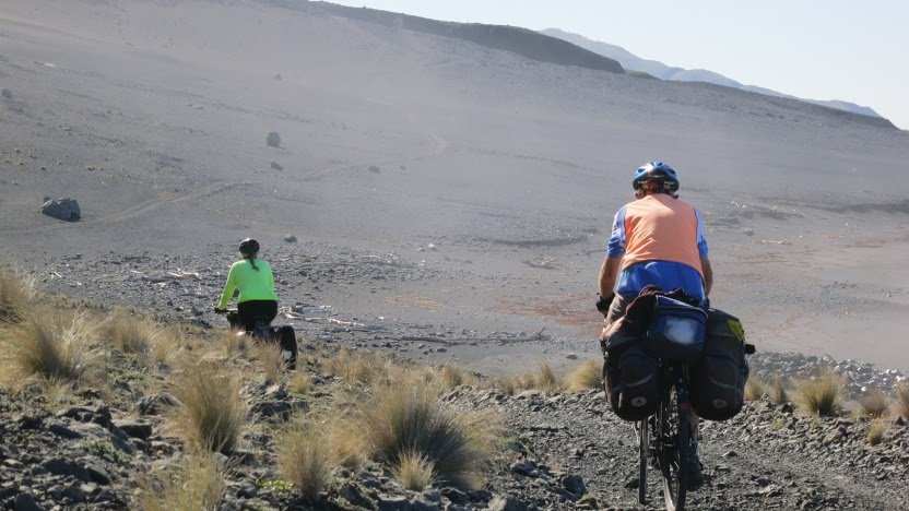
Before reaching the river, and turning inland, there was the small problem
of getting across the sandhills near Te Rakauwhakamataku Point.
No one said it was going to be easy #2
At least it's down hill, now.
But still a bit tricky.
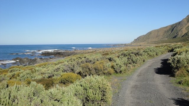
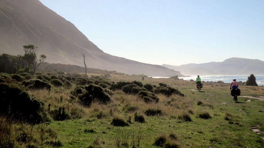
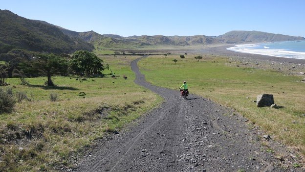
But, once across there it's all plain sailing - or riding - on good quality farm roads
to White Rock Road.
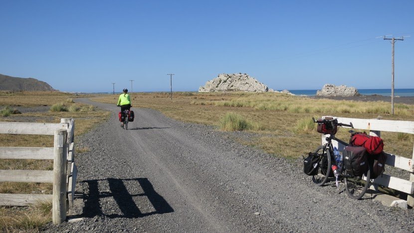
There's the White Rock.
Heading inland up the Opouawe River.
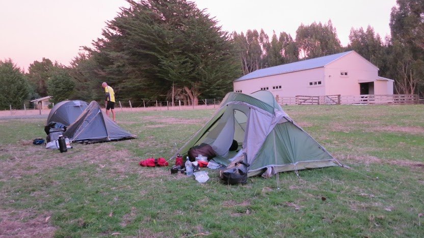
Camping at Tuturumuri.
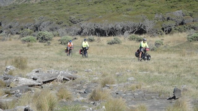
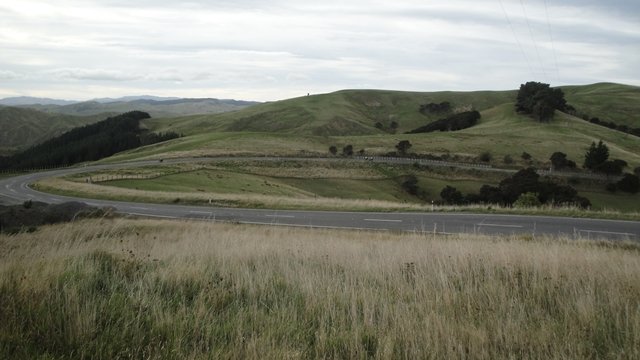
The drought was very much in evidence as they continued towards Martinborough.
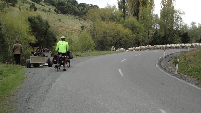
Rush hour, Wairarapa style.
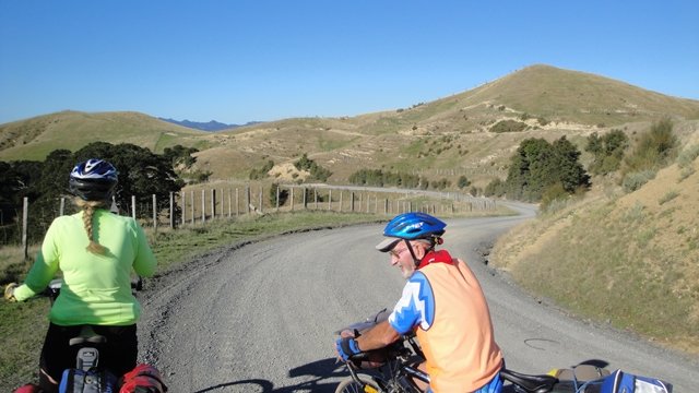
Nearing the top of the 5km climb at Whakapuni.
JB's out in front with Annie and Steve bringing up the rear.
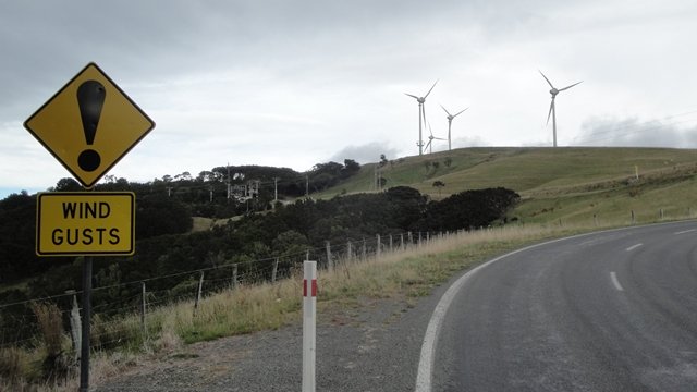
Just about at the top. It was hard riding in the strong and gusty wind.
The turbines at the Hau Nui Wind Farm were rotating flat out.
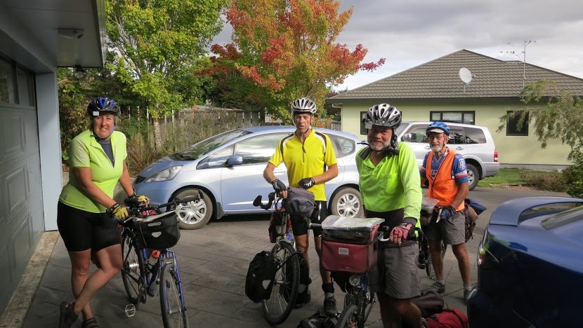
From here it was relatively easy going back to Martinborough and Masterton.
And here they are!!!
Photos : Steve and Tony
Want to tell the Webmaster something?