![]()
Exploring the Papakura Channel
-without a Kayak!!
9 August, 2009
Keith has discovered some lovely tracks in the Papakura area and showed them off to us today.
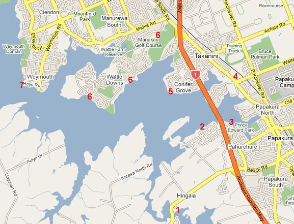
From Coles Cres we went to the Hingaia Bridge (1) then back to the new development at Karaka (2) which
had some lovely, brand new, wide paths. At 3 we skirted the Pahurehure Inlet on an older path. Morning coffee
was at BB's Café, Takanini (4). Then we went over to Conifer Grove (5) where we found some lovely steps for a
bit of extra exercise. The new path around Wattle Downs (6)had to be seen to be believed - wide, great views (the tide was in),
and some rather interesting real estate to look at. One rider asked if Keith was actually a real estate agent. The path was
so new it was not even on the recent South Auckland cycle map. Lunch was at the appropriatey named Keith Park. (7)If you want a detailed map, click here.
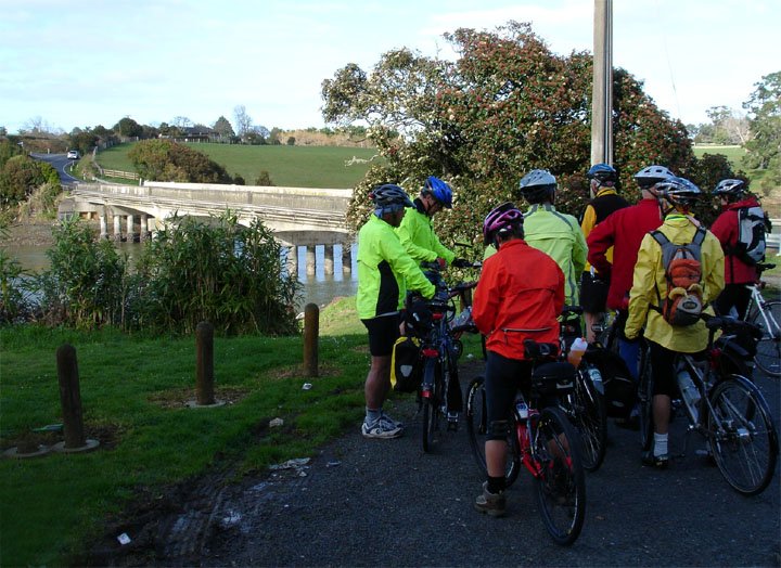
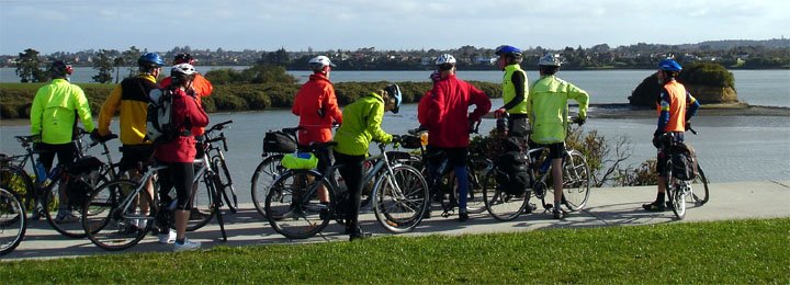
Our first geography lesson stop at the Hingaia Bridge.
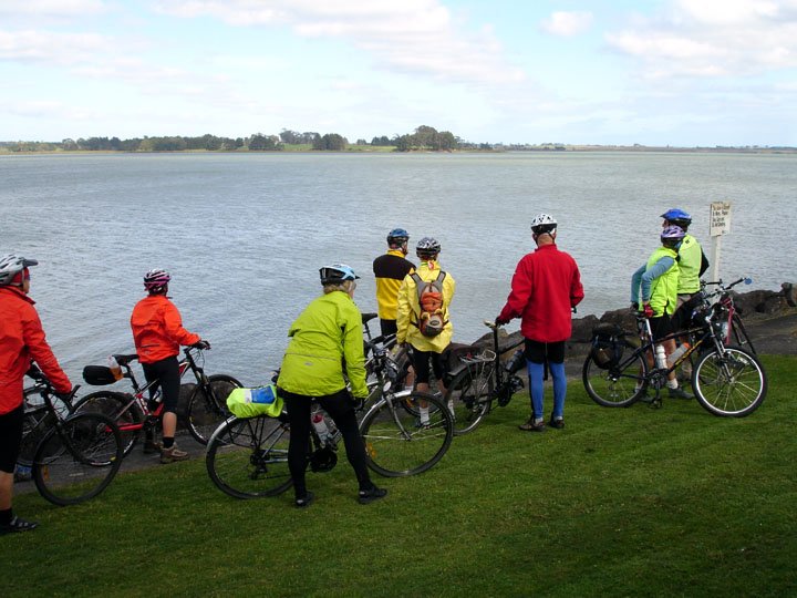
2nd lesson - Bottle Top Bay.
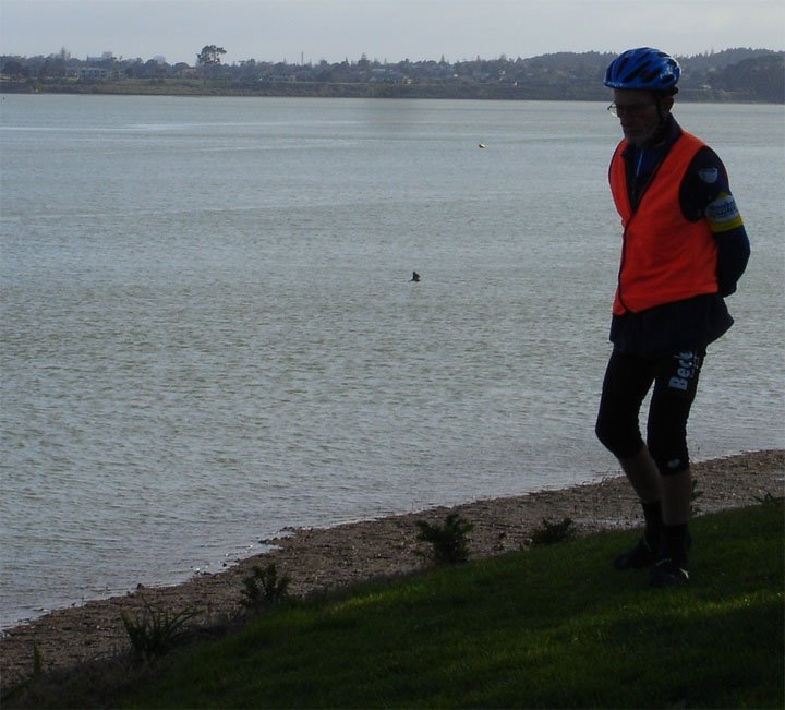
A pensive JB goes for a stroll - wonder if he saw the shark in the water.
OK - it wasn't really a shark.
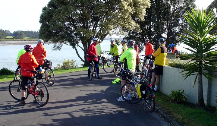
Another lesson near Harbourside Drive in the new development at Karaka.
Conifer Grove is over the water on the right and Wattle Downs is in the distance
on the left.
The view from Conifer Grove.
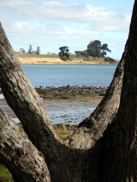
The sign says, "This Island is enjoyed by many. Please take care and do not destroy."
I guess the sign is aimed at boaties - that's Pararekau Island across the water.
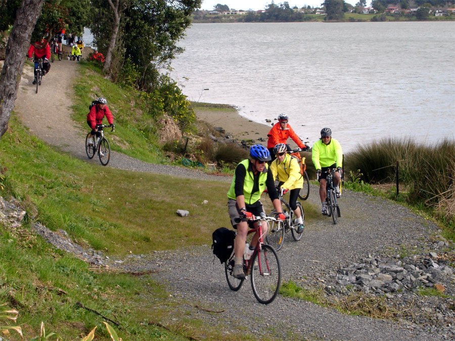
Then we were confronted by this minor obstacle.
Soon there was an interesting bit of unsealed track, with some nice little switchbacks and curly bends.
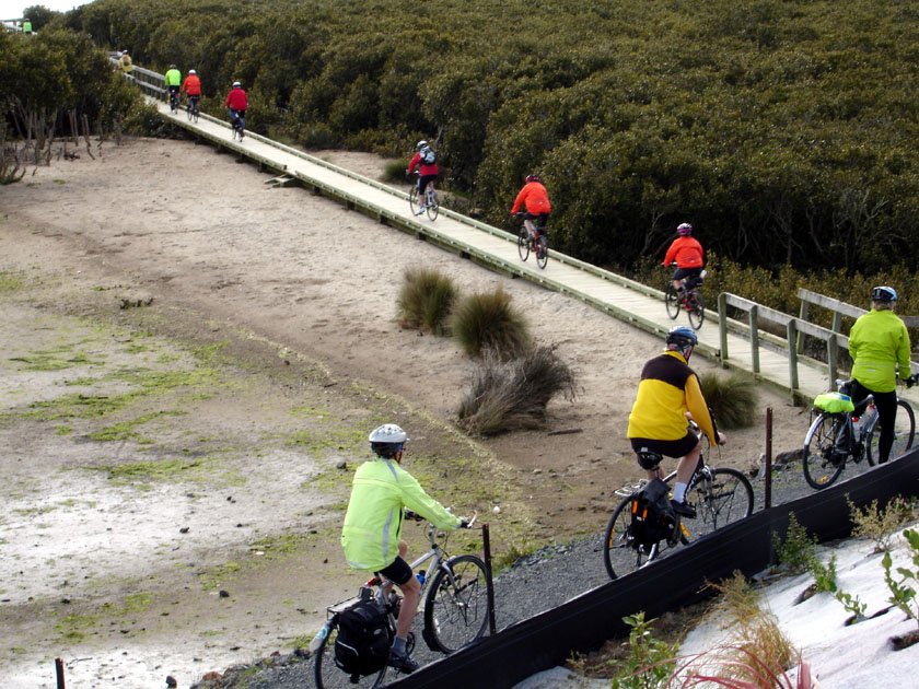
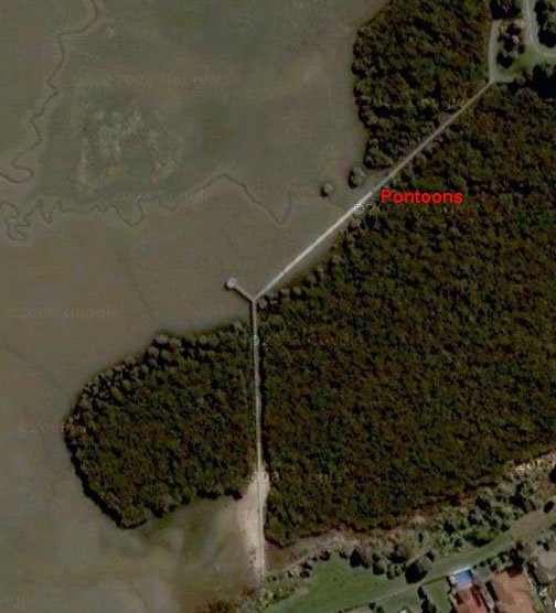
It lead directly on to this boardwalk across the sand and in to the mangroves. At the top left the path takes
a 135 degree turn to the right, goes over the water (the tide was in) and then drops on to pontoons.
Like so :-
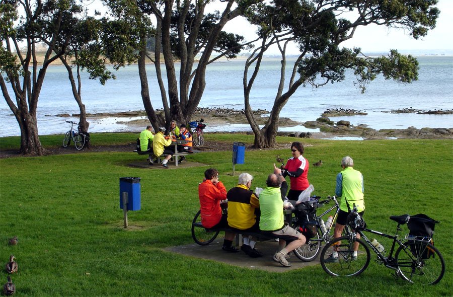
While we had lunch, the oyster catchers were waiting for the tide to go out
so they could have theirs.
Lunch at Keith Park.
Keith, our leader, thinks he may have set a record by not stopping for lunch until about 1:15.
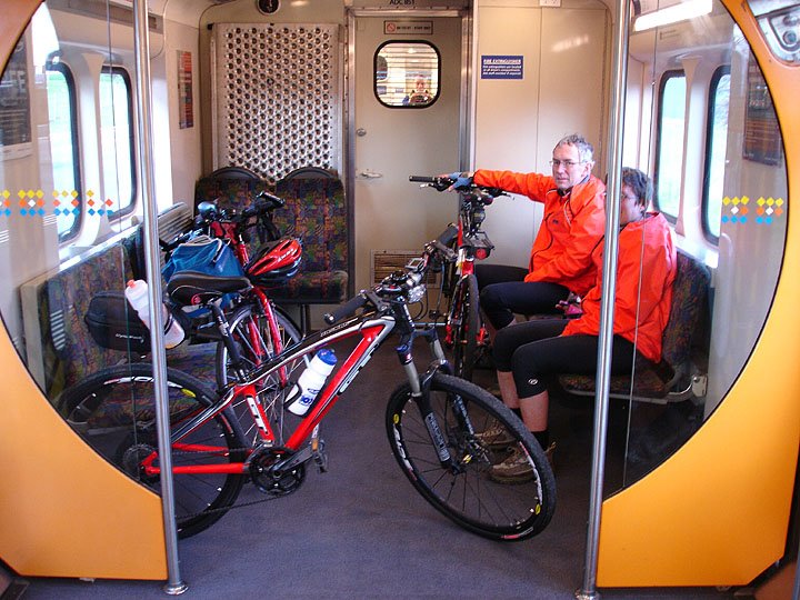
ACTA took over the back end of the 3:10 from Papakura.
Susan, I'm sorry the pole is in the way.
People on the ride who may be wondering why Ron and Susan chose to go back to town
by train, instead of using the perfectly good car they had at Papakura, could possibly
ask Ron.
An excellent ride. Thank you Keith for doing the navigation. I am sure it will become
a permanent fixture on our ride calendar.
Photos: John McK.
Want to tell the Webmaster something?