![]()
South Island Tour 2011Punakaiki to Westport
Thursday 10 March
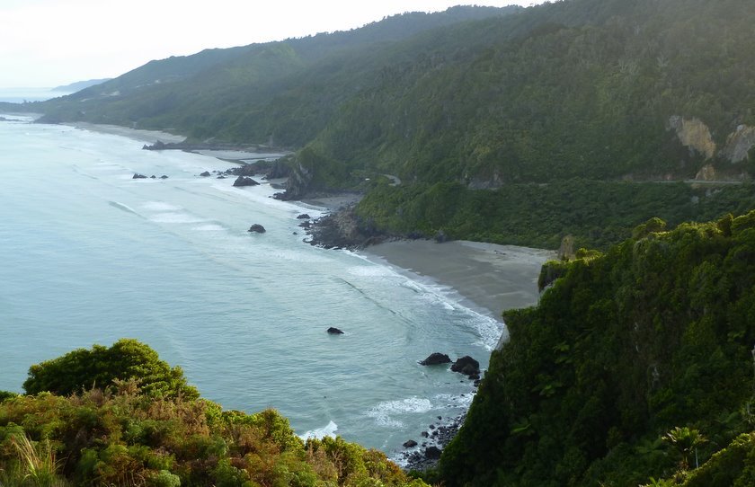
Heading north from Punakaiki there are several climbs,
but the views are rewarding. This is from Perpendicular Point.
Photo : Mack
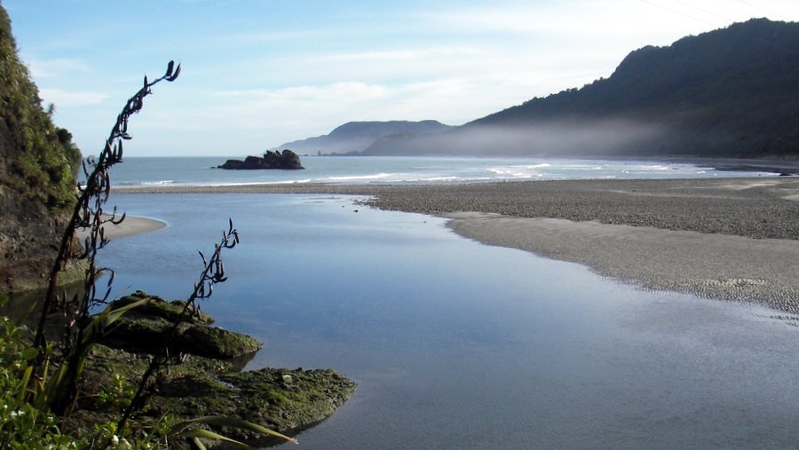
About a kilometre further north, there is a viewing area overlooking Meybille Bay.
Everyone was looking for the best viewpoint.
Photo : Lyn / Neale
Flapjacks at Irimahuwheri Bay.
Photo : Lyn / Neale
First thoughts were that we might have to climb up that lot, but the road skirts
around the base of the hill.
Photo : Lyn / Neale
Meybille Bay.
Photo : Mack
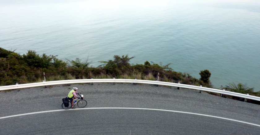
Margaret is getting close to riding off the edge of the Earth.
Photo : Lyn / Neale
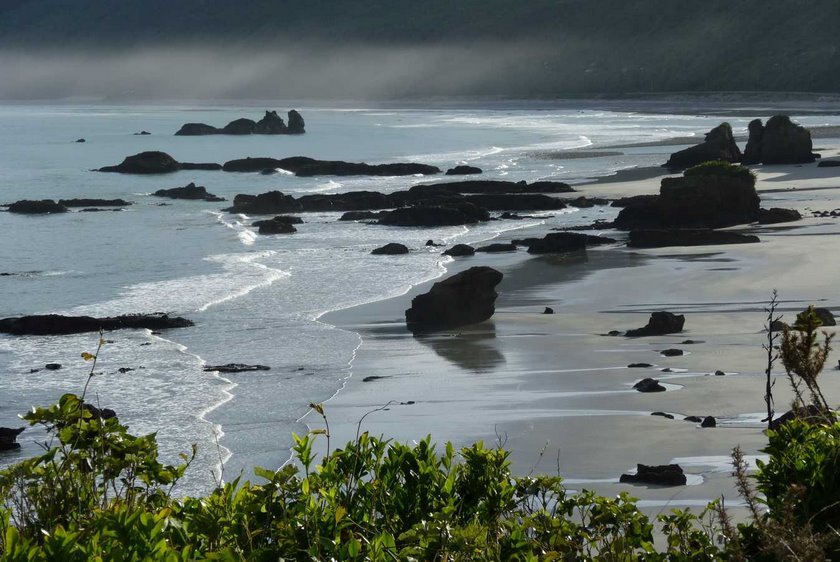
We all took a shot of this misty beauty.
Photo : Maurice
Westland Beauty.
Photo : Margaret
There was the thought of coffee at Charleston - but nothing was open.
However, there was a sign promising coffee a couple of km down the road.
Alas, when we got to the turnoff there was another sign saying, "Closed."
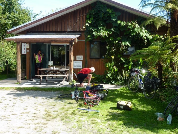
Some believed this and cycled on. Some didn't and went to investigate. They found
the café just being opened for the day and got their caffeine fix.
Bryan also scored a puncture. :-((
Photo : Lyn / Neale
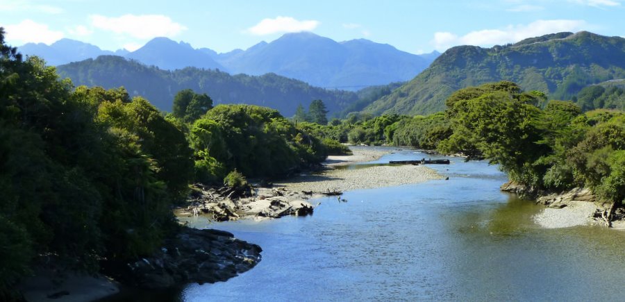
Nile River. aka Waitakere River.
Photo : Mack
The hills out the back of Annie's sister's home (where there was coffee AND bikkies).
Photo : Mack
Selwyn investigates a small tomo at the Addison's Flat Cemetery.
Photo : Mack
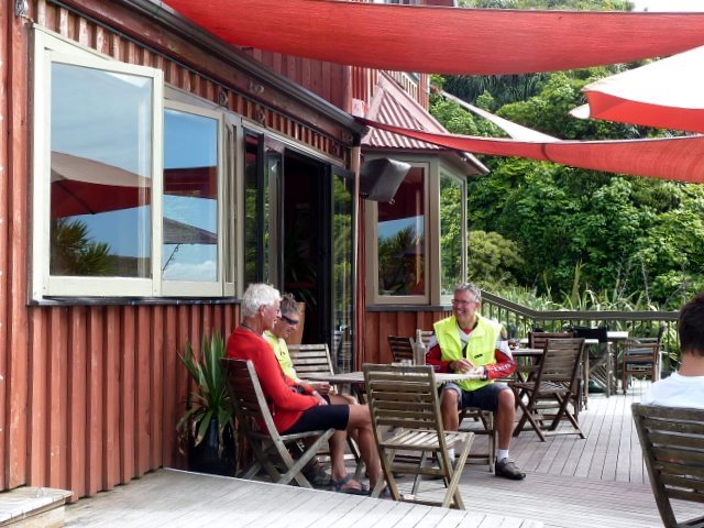
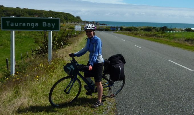
Another coffee stop!! This one's at Tauranga Bay, just south of Cape Foulwind.
Photo : Lyn / Neale
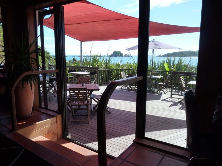
The view from inside.
Photo : Ron
Susan at Tauranga Bay.
Photo : Ron
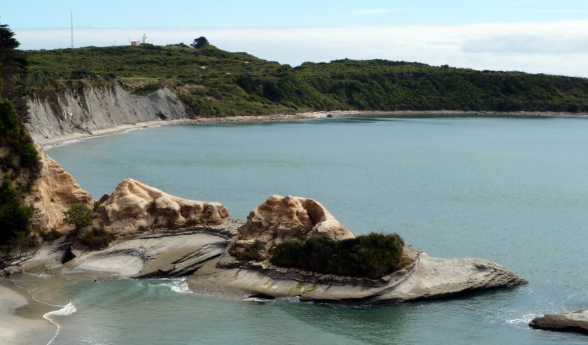
Cape Foulwind.
Photo : Mack
Foulwind Light History.
Photo : Maurice
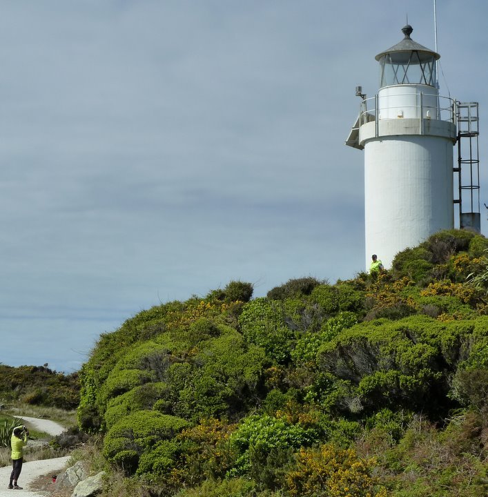
Warwick, Selwyn and Margaret at the somewhat less than imposing Cape Foulwind lighthouse.
Photo : Lyn
Photographer at work.
Photo : Mack
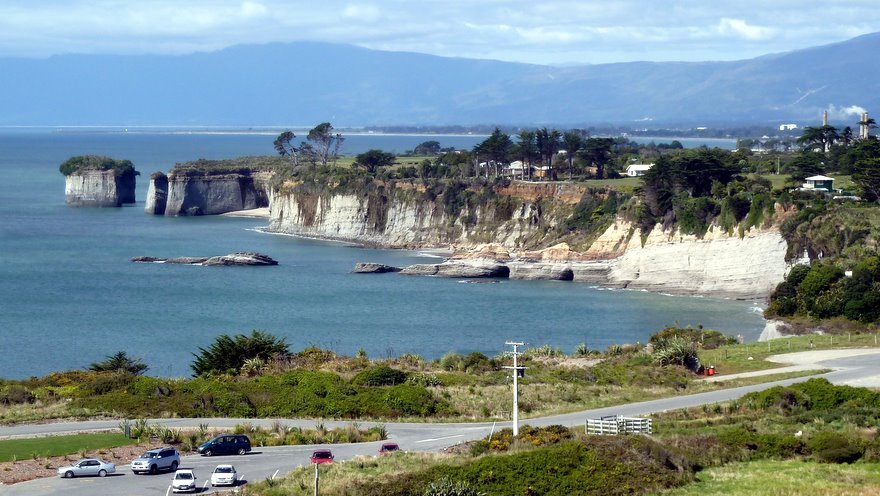
View north from the Foulwind Light.
The beach in the distance is on the south side of the mouth of the Buller River.
Photo : Mack
Want to tell the Webmaster something?