![]()
Auckland Cycle Touring Association
Limestone
Downs
19 April, 2009
We were out this
way in October, 2005 (check out the photos) and the country here
is as beautiful as it was then, and the roads are just as challenging.
Approaching the
Tuakau Bridge over the Waikato River.

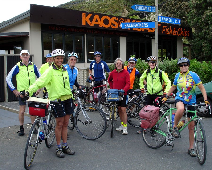
KAOS!!!
Sounds like the right place for us.
Be aware that the only place on this ride that you may be lucky enough to get a coffee
is at Port Waikato. We had to detour a couple of km to get our caffeine fix.
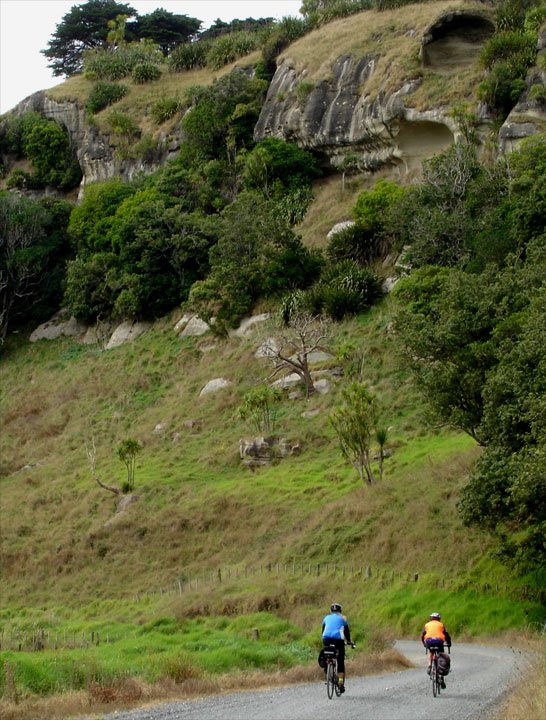
Climbing up the valley from Port Waikato.
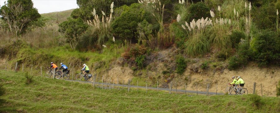
More climbing.
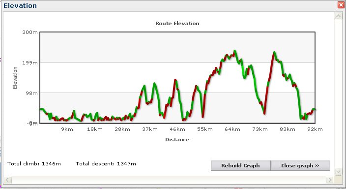
As a matter of
interest, here's today's Elevation Graph. The above shot is approaching
the second peak at 37km.
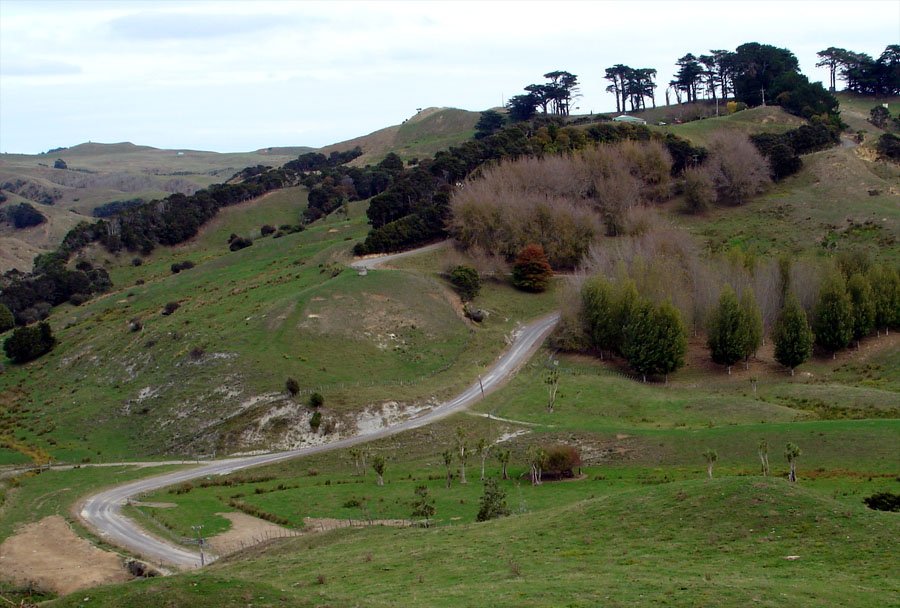
This valley is at the foot of the hill mentioned above.
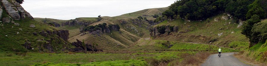
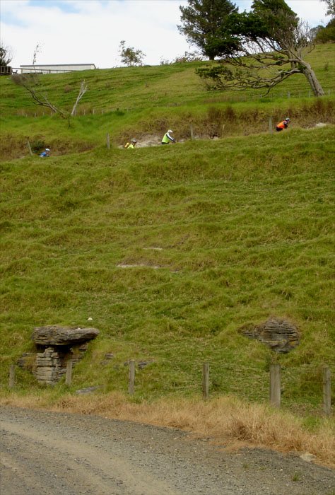
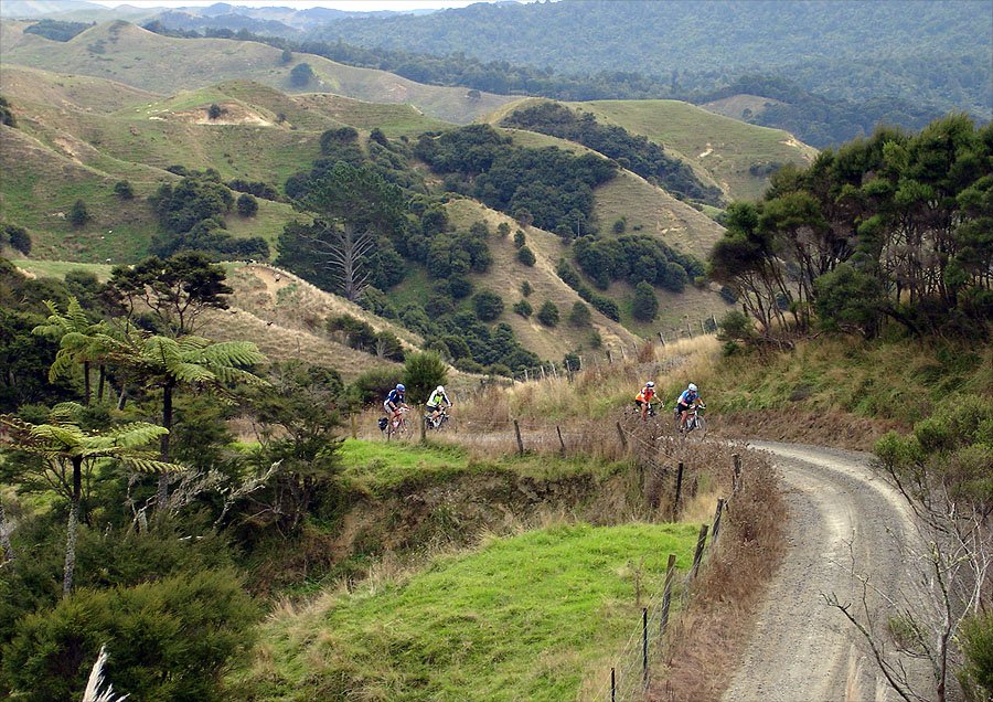
AC and JB getting in to limestone country.
The road descends right to left above
the limestone cliffs.
The people at top right were doing a bit of abseiling.
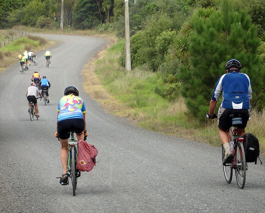
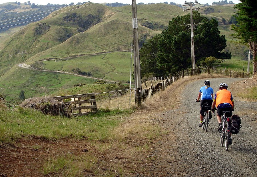
Came round a bend and
saw this hill confronting us. You can see Pat walking already.
It was not long before just about everyone had to use the 24" (2 feet) gear.
This was due
partly to the gradient, but mainly we had trouble with thick gravel. A little
further
up the road we came across a grader - it's main aim in life seems to have been
to make life difficult for us!!!##**
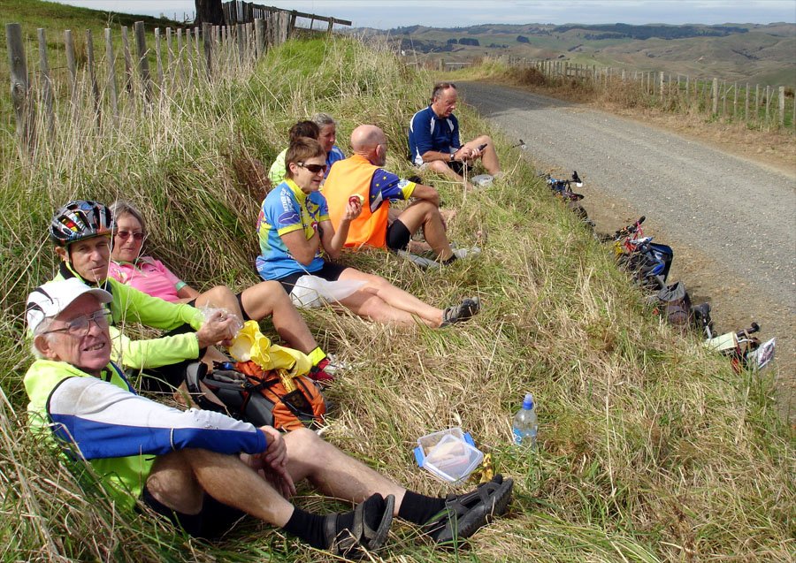
Lunch time at last at just past the 46km summit. From here we could get glimpses of the Tasman Sea.
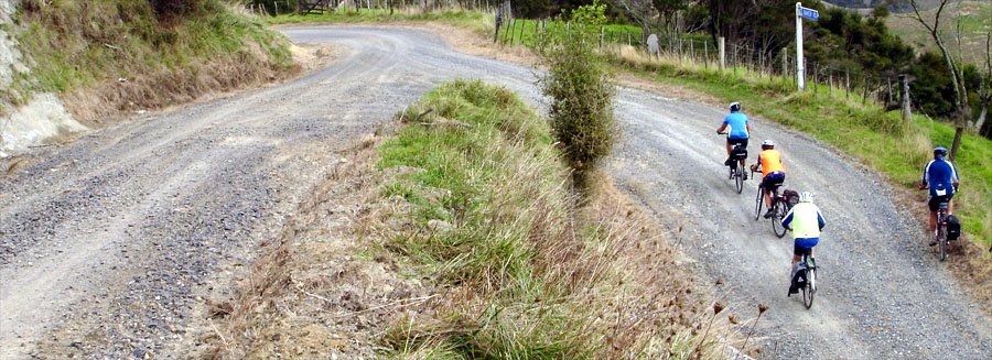
Baker Road!!
This was a challenging little beastie. If you refer back to the elevation graph,
it's the hump starting just before the 55km mark.
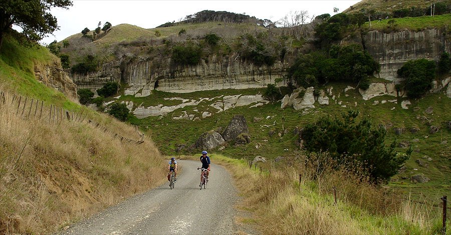
The downhill here, where AC and JB are heading, is the green slope down to the 55km
mark on the graph.
And this hillside is the red bit heading up from the 55km.
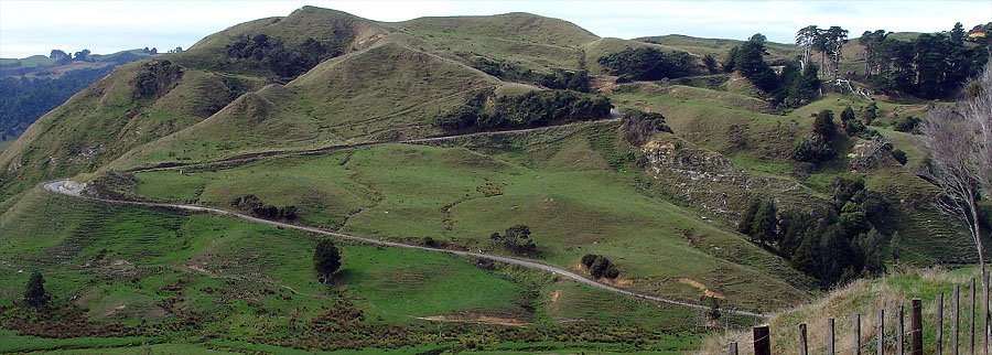
This is looking back to where we had just come from.
Top end of Baker Road - the climbing (well, this bit anyay) is almost over.
Baker Road joins the Waikaretu - Wairamarama Road.
No more photos of todays great ride 'cos it was getting late - and dark.
The time in Auckland, New Zealand is
Photos : John McK
Want to tell the Webmaster something?