![]()
Auckland Cycle Touring Association North Island Tour, 2008
Kuripapango - Taihape
This was the day of reckoning.
The first major
climb of the tour - Gentle Annie - was only a k or so away from
Robson Lodge - so there was not much time to warm up.
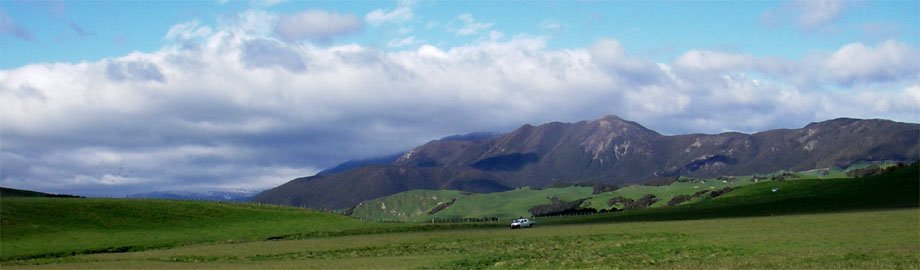
Gentle Annie
Robson Lodge is
just out of the picture on the right hand side. The road drops down to the
bridge over the Ngaruroro River then starts the climb. The summit is near the second
LH hairpin just left of centre.
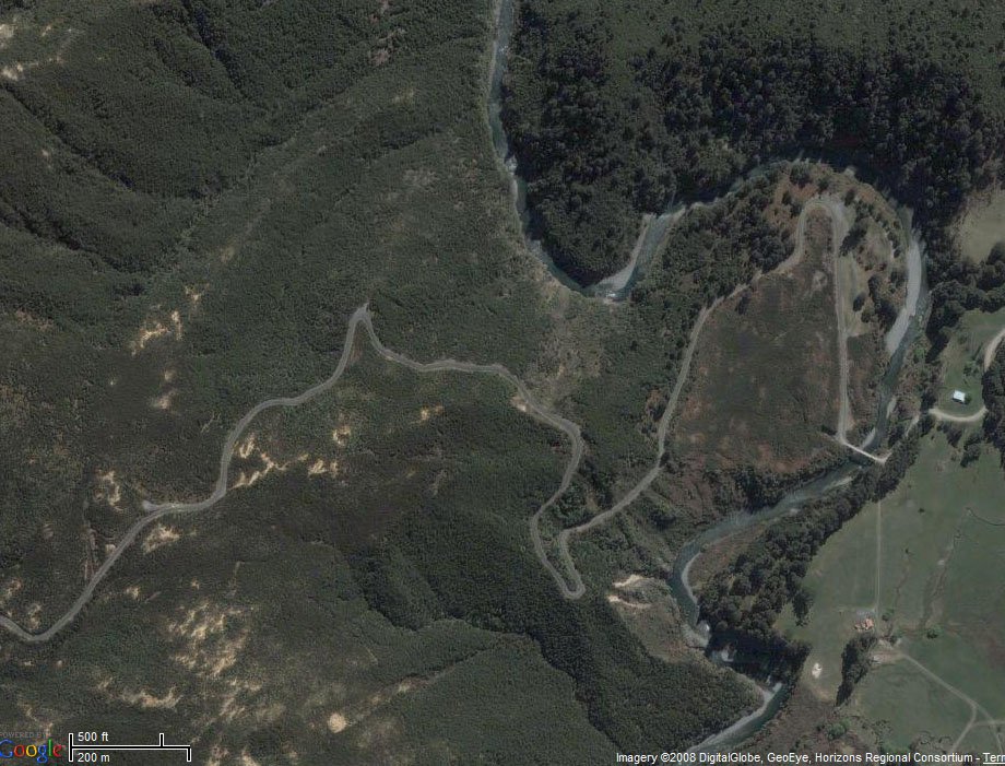
Photo : Bikely and Google
Here's the
elevation graph for the first 6.5 km from Robson Lodge.
The good news is, after the climb of about 250 m, there is a downhill.
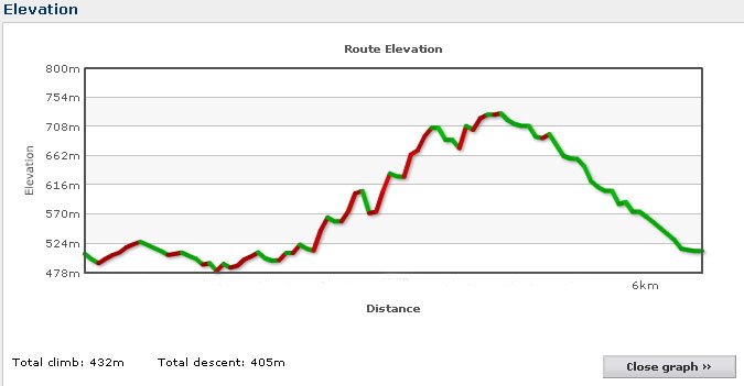
Photo : Bikely
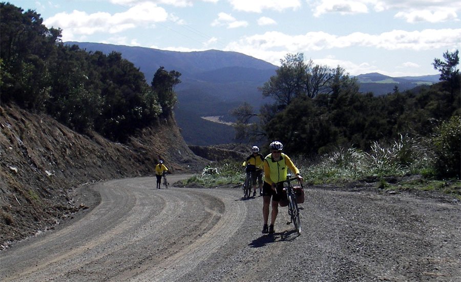
The bad news is, the downhill drops you in to the valley of the Taruarau River
- which you then have to climb out of!!!!
But there is always food to look forward to.
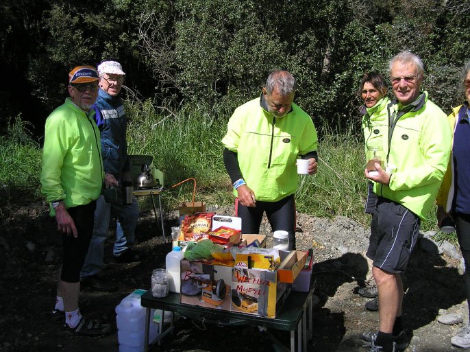
Photo: John G
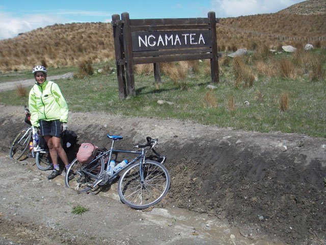
And rewarding scenery.
Margaret at Ngamatea
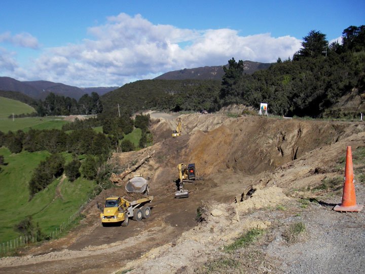
And also
roadworks!
There is a move afoot to upgrade this road and seal the whole thing.
That will take away a lot of its magic as it will become a lot more popular as a trucking
route
from Napier to the centre of the North Island.
The old bridge over the Rangitikei River.
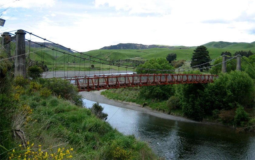
Photo: Maurice
And there's more
food.
Note how the guys stand around while the lady does the work
- or are they being Gentlemen and letting Pat go first.
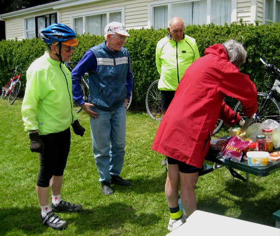
Photo: Annette
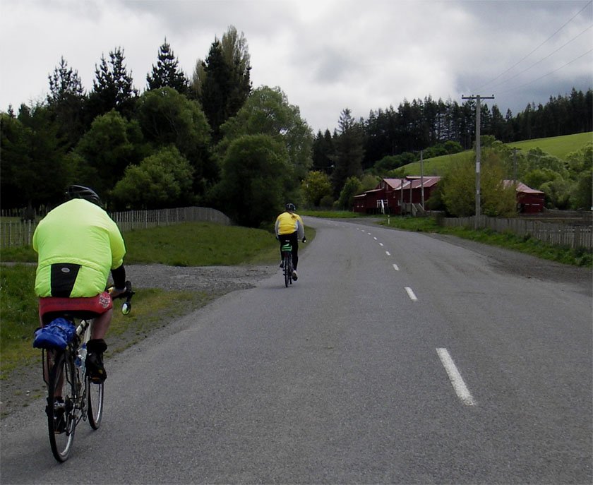
Not far from the lunch stop, the next climb awaits.

Photo: Annette
Getting up towards Taihape.
Here's the elevation for Napier to Taihape.
Over 2.5km of climbing.
The road crosses
the valleys of the Ngaruroro, Taruarau, Rangitikei and Moawhango Rivers,
and a number of their tributaries, which produces all the ups and downs.
What a challenge - what satisfaction to have completed it.

Photo: Bikely
Photos, unless otherwise credited, Margaret L
PS There may be some poetic licence taken with the order of the photos on this page.